A river bend defines the boundaries of a bi-state metropolis
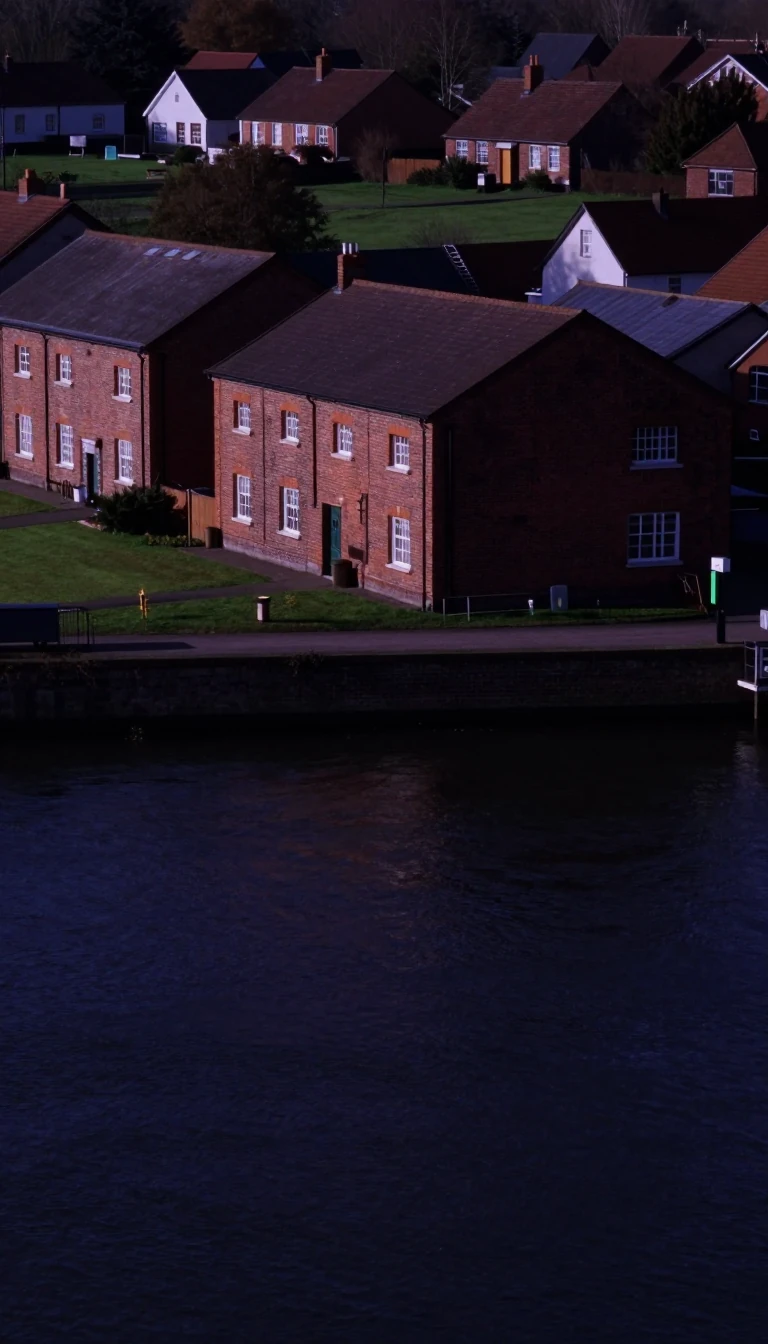
In short: The Kansas City metropolitan area is shaped by the winding path of the Missouri River. Its geography creates unique enclaves and distinct quadrants, where a single river bend can dictate city limits, define industrial zones, and separate historic neighborhoods across state lines.
The Kansas City metropolitan area spans 8,472 square miles across fourteen counties in Missouri (nine) and Kansas (five). Its physical layout is defined by the Missouri River, which serves as a primary geographic marker. To illustrate, the Missouri River's curve defines the border dividing Platte County, Missouri, from Wyandotte County, Kansas, which establishes a geographic limit for North Kansas City's perimeter.
The region is organized into roughly four quadrants. The southeast is anchored by Kansas City, Missouri; the southwest encompasses all of Johnson County, Kansas; the northwest includes Wyandotte and Leavenworth counties; and the northeast is known as the Northland. Within these quadrants, the river continues to shape the land, creating a peninsula that houses the Kansas City Downtown Airport and defining the northern limits of the River Market.
Geography also dictates industrial and residential zoning. The Sheffield district sits in the Blue River valley on the far northeast side, while the East Bottoms serves as a primary hub for railroad activity and industrial business. In contrast, the city's oldest surviving neighborhood, Pendleton Heights, is defined by its position on the Historic Northeast district, while the West Bottoms preserves the site of the city's former stockyards.
The area's infrastructure is also influenced by its terrain and layout, featuring notable landmarks like the Grandview Triangle—an intersection of four major highways—and the Benton Curve. These geographic features, from river bends to highway junctions, illustrate how the physical landscape of the Midwest continues to structure the lives of over 2.2 million residents.
Opens the Intellect+ feed with this card first. Swipe up for the next one.
Sources
- Summary by Intellect · source: Kansas City metropolitan area
To cite this card, link to https://intellectplus.co.uk/app/nature-kansas-city-metropolitan-area.
How we source, check and correct cards: Editorial standards.
General information, not professional advice. Spotted an error? Flag the card or see corrections and complaints.
Intellect Plus is a visual educational discovery platform for exploring fascinating facts and ideas. Brain Food, Not Brain Rot. What is Intellect Plus?
Related
More in Physical geography · More in Nature · Latest · A–Z · All topics
