Why the world's largest freshwater lake is hiding in plain sight
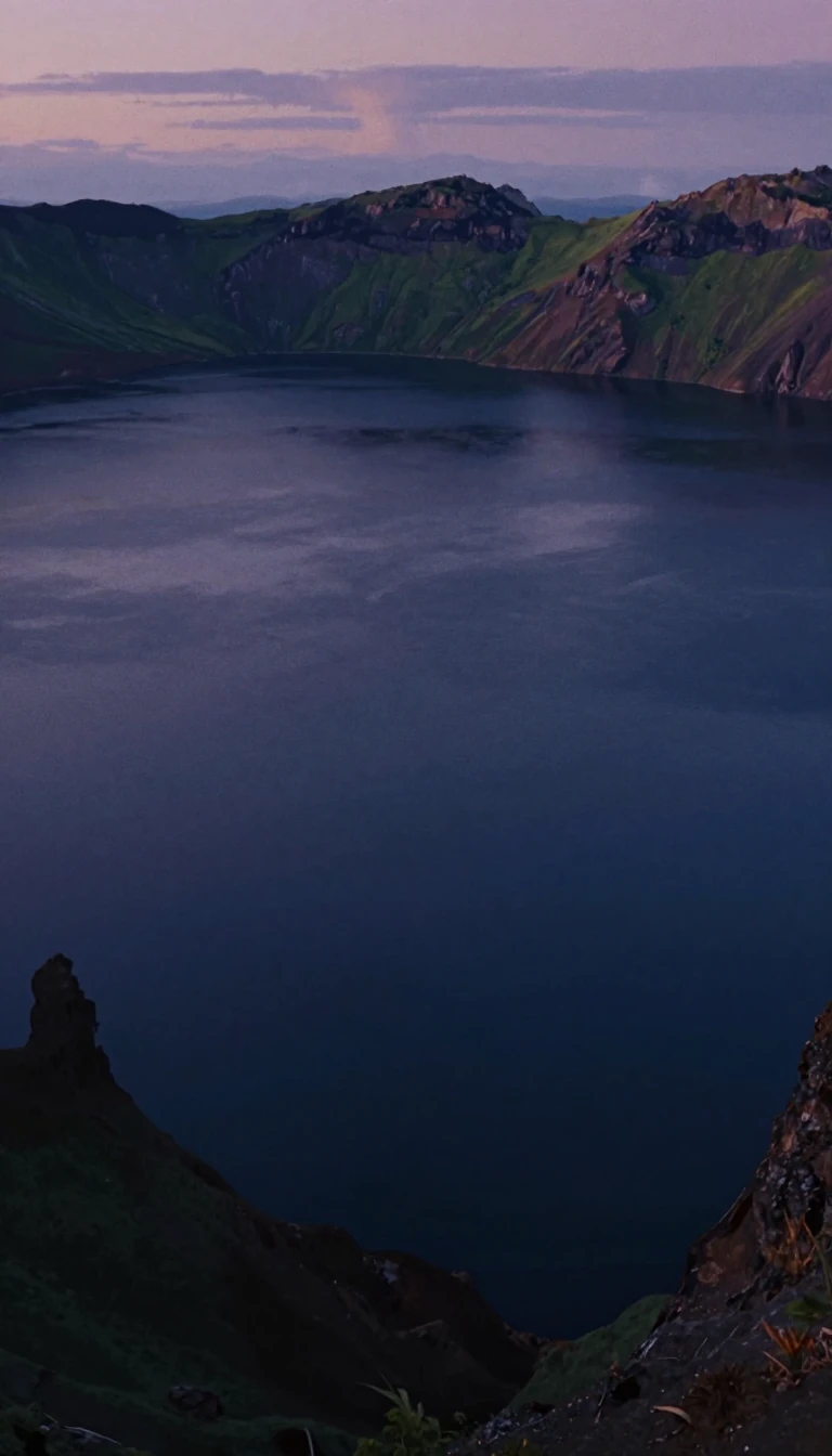
In short: If you look at a map, you see two lakes: Michigan and Huron. But hydrologically, they are a single, massive body of water. Joined by the deep Straits of Mackinac, they share the same water level and constantly exchange water, making them the largest freshwater lake on Earth by surface area.
While convention treats Lake Michigan and Lake Huron as distinct entities, their physical reality tells a different story. They are connected by the Straits of Mackinac, a passage 5 miles wide and 120 feet deep. Because this connection is sufficiently wide and deep, water flows freely between the two basins, keeping their mean water levels in equilibrium. In June 2015, for instance, both basins sat at 580 feet above sea level. When considered as a single unit, this system surpasses all other freshwater lakes in the world by surface area.
The current configuration is a relatively recent development in a long, volatile history of post-glacial evolution. During the last ice age, the Laurentian ice sheet repeatedly advanced and retreated, damming and opening various outlets. Around 9,000 BC, the basins were part of a single, massive body known as Lake Algonquin. Later, as the ice retreated, the basins were separated into proglacial lakes Chippewa and Stanley, connected by a channel that discharged over the now-submerged Mackinac Falls. It was only through the ongoing warping of the land, known as post-glacial rebound, that the basins eventually reunited into the arrangement we see today.
The dynamics of this connection are complex. While the long-term average flow is eastward toward the St. Clair River, water frequently moves in either direction through the Straits. Driven by atmospheric pressure, wind, and seiches—resonant standing waves—the flow can reach speeds exceeding 75,000 cubic meters per second for several hours. This constant, bidirectional exchange ensures that the two basins function as a single hydrological system, even if our maps continue to label them as two.
Understanding this system requires looking past traditional naming conventions. While Lake Superior is often cited as the largest of the Great Lakes, that title only holds if Michigan and Huron are kept separate. By recognizing their hydrological unity, we gain a more accurate picture of the Earth's freshwater geography, one shaped by the slow, relentless movement of the crust and the ancient memory of retreating ice.
Opens the Intellect+ feed with this card first. Swipe up for the next one.
Sources
- Summary by Intellect · source: Lake Michigan–Huron
To cite this card, link to https://intellectplus.co.uk/app/nature-lake-michigan-huron.
How we source, check and correct cards: Editorial standards.
General information, not professional advice. Spotted an error? Flag the card or see corrections and complaints.
Intellect Plus is a visual educational discovery platform for exploring fascinating facts and ideas. Brain Food, Not Brain Rot. What is Intellect Plus?
Related
More in Physical geography · More in Nature · Latest · A–Z · All topics
