The Last Glacial Maximum: When Earth’s Ice Sheets Transformed the Global Landscape
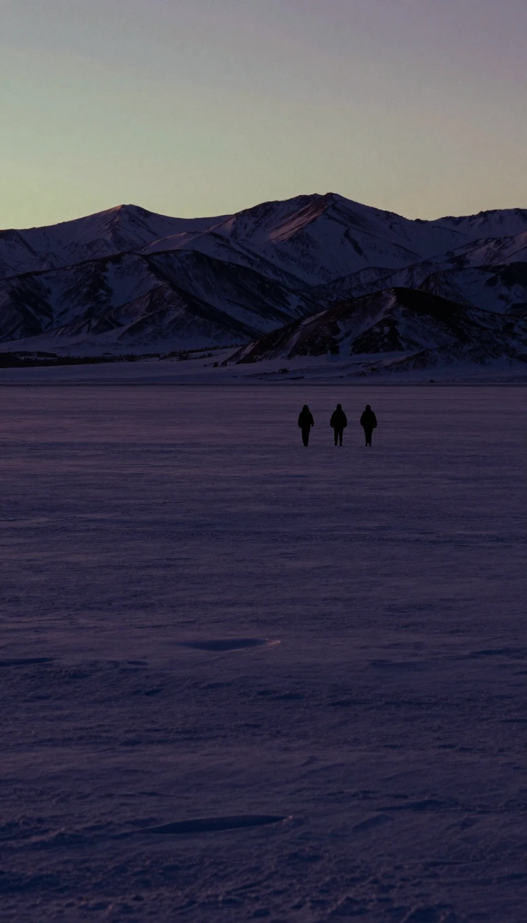
In short: Between 26,000 and 20,000 years ago, Earth entered its coldest recent period. Massive ice sheets locked away vast amounts of water, causing sea levels to plummet by 125 meters. This radical shift didn't just freeze the poles; it reshaped continents, dried out tropical rainforests, and fundamentally altered global atmospheric circulation.
During the Last Glacial Maximum (LGM), roughly 8% of Earth's surface and 25% of its land area were buried under permanent ice. This era was defined by extreme aridity; as massive ice sheets expanded across North America and Europe, they generated powerful anticyclones that blocked precipitation, turning once-lush regions into deserts. In the Southern Hemisphere, sand dunes swept across half of Australia, while the Amazon rainforest fragmented into isolated pockets surrounded by savanna. The hydrological cycle slowed significantly, and the atmosphere became choked with dust, with levels up to 25 times higher than those observed today.
The global cooling effect was profound, with average temperatures dropping by about 6 °C. This climate shift was not uniform, however. While northern regions suffered, some areas experienced counterintuitive changes. In the Western United States, shifts in the jet stream created vast pluvial lakes, such as Lake Bonneville in Utah. Similarly, parts of the Middle East and Central Asia saw increased humidity, and small enclaves of relative warmth persisted in places like the southeastern United States. The cooling was often more severe in winter than in summer, a pattern confirmed by rodent-based climate models in the Western Palearctic.
The LGM also physically reconfigured the planet. Lowered sea levels exposed continental shelves, creating land bridges that connected previously isolated territories. The Indonesian islands, Borneo, and Bali merged into a single landmass known as Sundaland, while Australia, New Guinea, and Tasmania formed the continent of Sahul. These changes forced migrations and reshaped genetic diversity in human populations. As the climate eventually warmed and deglaciation began, these land bridges were submerged, and the world’s geography began its slow transition toward the modern era we recognize today.
Opens the Intellect+ feed with this card first. Swipe up for the next one.
Sources
- Summary by Intellect · source: Last Glacial Maximum
To cite this card, link to https://intellectplus.co.uk/app/nature-last-glacial-maximum.
How we source, check and correct cards: Editorial standards.
General information, not professional advice. Spotted an error? Flag the card or see corrections and complaints.
Intellect Plus is a visual educational discovery platform for exploring fascinating facts and ideas. Brain Food, Not Brain Rot. What is Intellect Plus?
Related
More in Physical geography · More in Nature · Latest · A–Z · All topics
