From Cold War Spying to Climate Science: How Satellites Map Our Changing World
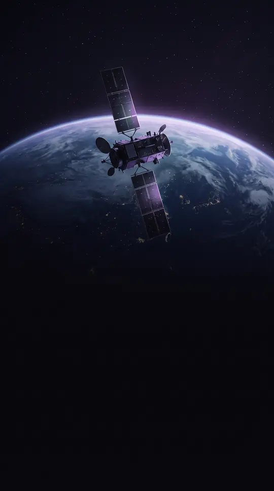
In short: Satellite imagery has evolved from secretive military reconnaissance to a vital tool for global monitoring. Today, these orbital sensors track everything from illegal landfills and tax-evading swimming pools to deforestation and volcanic eruptions, providing a high-resolution view of Earth that shapes our understanding of the planet as an integrated system.
The history of spaceborne photography began long before modern satellites. The first images from space were captured during a sub-orbital V-2 flight on October 24, 1946, reaching an apogee of 65 miles. By 1959, the U.S. Explorer 6 achieved the first orbital photographs of Earth, while the Soviet Luna 3 captured the Moon's far side later that same year. The 1970s marked a turning point with the 1972 launch of the Landsat program, the largest effort for acquiring Earth imagery, and the 1977 deployment of the KH-11 system, which provided the first real-time satellite imagery.
Modern satellite analysis relies on five distinct types of resolution: spatial, spectral, temporal, radiometric, and geometric. Spatial resolution, or the pixel size of the surface area being measured, determines how much detail a sensor can capture. For instance, the Landsat program maintains a 30-meter resolution, while advanced commercial satellites like GeoEye 1 can achieve a ground sample distance of 0.41 meters. This capability allows for diverse applications, ranging from tracking fish populations and assessing crop health to monitoring urban planning and identifying unauthorized landfills in Russia.
Despite the wealth of data, challenges remain. Because Earth's surface is vast, raw imagery requires significant preprocessing, such as destriping, to become useful. Furthermore, weather conditions like cloud cover can obscure targets, particularly in mountainous regions. While NASA publishes its imagery freely, commercial satellite companies operate under licensing models, which limits the ability to create derivative works. As automated software systems like ERDAS Imagine and ENVI become more sophisticated, the analysis of these massive datasets continues to play a critical role in environmental protection, intelligence, and scientific research into climate change and natural hazards.
Opens the Intellect+ feed with this card first. Swipe up for the next one.
Sources
- Summary by Intellect · source: Satellite imagery
To cite this card, link to https://intellectplus.co.uk/app/nature-satellite-imagery.
How we source, check and correct cards: Editorial standards.
General information, not professional advice. Spotted an error? Flag the card or see corrections and complaints.
Intellect Plus is a visual educational discovery platform for exploring fascinating facts and ideas. Brain Food, Not Brain Rot. What is Intellect Plus?
Related
More in Organisms · More in Nature · Latest · A–Z · All topics
