How geologists use ancient fossils to define the boundaries of deep time
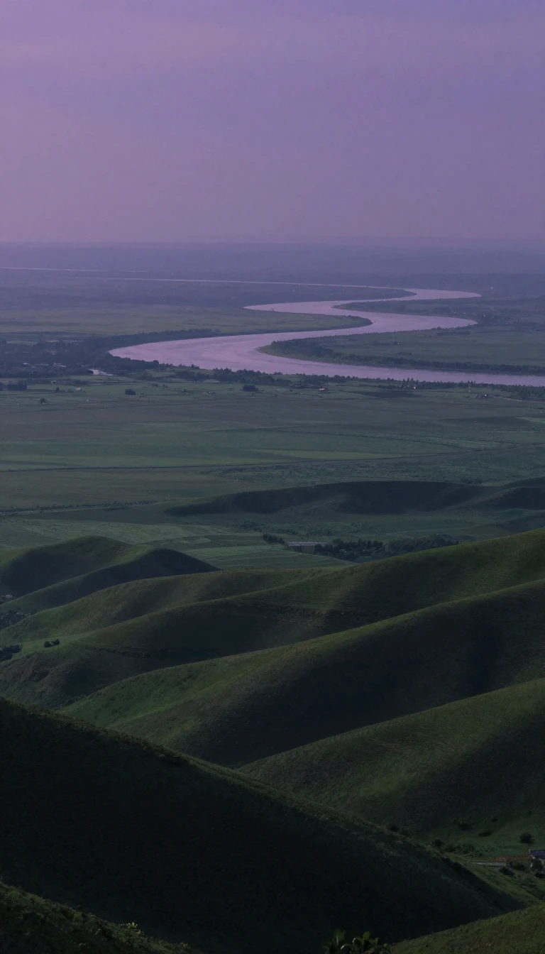
In short: A stage is a fundamental unit of geologic time, representing millions of years of rock deposition. By identifying specific index fossils or magnetic signatures within these layers, scientists can correlate rock formations across the globe, turning the Earth's crust into a precise, readable history book of our planet's past.
In chronostratigraphy, a stage serves as the primary building block for organizing the geologic timescale. Each stage corresponds to a specific age, with the rock layer and the time interval sharing the same name and boundaries. These units are flexible in scale; they can be grouped into superstages or broken down into smaller chronozones and substages. While a single stage might encompass various rock types—such as formations or members—that were deposited in different environments, they all share the same temporal origin.
Historically, these units were defined by their faunal content, as specific animals were found consistently throughout a layer. Paleontologists relied on index fossils—common, easily recognized species that existed for a limited time—to mark the bottom of a stage. For instance, in North America, the presence of the trilobite Olenellus indicates the Waucoban Stage, while Elrathia signals the later Albertan Stage. Before the advent of radioactive dating and seismology in the second half of the 20th century, these faunal stages were the essential tools for dating and correlating rock units across regions.
Since 1974, the International Commission on Stratigraphy has worked to standardize these divisions globally. They use two primary benchmarks: the Global Boundary Stratotype Section and Point (GSSP), which uses a physical outcrop to demonstrate a boundary, and the Global Standard Stratigraphic Age (GSSA), which provides an absolute date for older stages. As this international system nears completion, local classification criteria are expected to be phased out. This shift toward a uniform, global framework ensures that geological data can be compared with far greater confidence than was possible when relying on isolated, regional observations.
Opens the Intellect+ feed with this card first. Swipe up for the next one.
Sources
- Summary by Intellect · source: Stage (stratigraphy)
To cite this card, link to https://intellectplus.co.uk/app/nature-stage-stratigraphy.
How we source, check and correct cards: Editorial standards.
General information, not professional advice. Spotted an error? Flag the card or see corrections and complaints.
Intellect Plus is a visual educational discovery platform for exploring fascinating facts and ideas. Brain Food, Not Brain Rot. What is Intellect Plus?
Related
More in Geology · More in Nature · Latest · A–Z · All topics
