How a massive 2010 earthquake in Chile physically shifted the entire planet
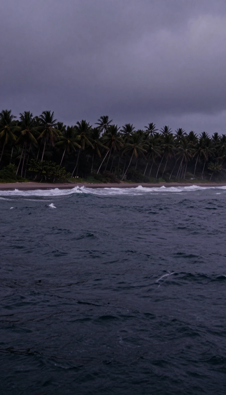
In short: On February 27, 2010, an 8.8 magnitude earthquake struck off the coast of Chile. It was so powerful that it moved entire cities hundreds of centimeters, triggered tsunamis across the Pacific, and even slightly altered the Earth's rotation, shortening the length of a single day by over a microsecond.
The 2010 earthquake occurred at the boundary where the Nazca Plate subducts beneath the South American Plate. This convergence, which happens at a rate of 80 millimeters annually, has defined Chile's seismic history for 500 million years. The rupture zone for this specific event spanned over 700 kilometers, releasing roughly 120 years of accumulated tectonic pressure in just three minutes. The sheer force of this displacement caused the South American continent to shift westward, with GPS data confirming that Concepción moved at least 3 meters and Santiago shifted nearly 24 centimeters.
Beyond surface movement, the event had global geophysical consequences. The massive redistribution of crustal mass altered the Earth's figure axis by approximately 8 centimeters, a change that scientists estimate reduced the duration of a day by 1.26 microseconds. The earthquake also triggered secondary seismic activity as far away as Antarctica, where it induced icequakes within the ice sheets, and generated seiches in Louisiana's Lake Pontchartrain, nearly 7,500 kilometers from the epicenter.
The human and structural toll was immense, with 525 confirmed deaths and approximately 370,000 homes damaged. Coastal towns like Constitución faced devastating tsunami waves reaching up to 24.1 meters. While Chile's building codes, strengthened after the 1960 Valdivia earthquake, prevented even greater destruction, the disaster left 93 percent of the population without power. The event remains a critical case study for seismologists, who used a dense network of sensors to record 20,000 aftershocks in the six months following the main event, providing unprecedented insight into the structure of the Chilean margin.
Opens the Intellect+ feed with this card first. Swipe up for the next one.
Sources
- Summary by Intellect · source: 2010 Chile earthquake
- Also: Wikidata — 2010 Chile earthquake · CC0
- Also: www.britannica.com — Chile earthquake of 2010 | Tsunami, Deaths, Recovery, & Facts | Britannica
To cite this card, link to https://intellectplus.co.uk/app/places-2010-chile-earthquake.
How we source, check and correct cards: Editorial standards.
General information, not professional advice. Spotted an error? Flag the card or see corrections and complaints.
Intellect Plus is a visual educational discovery platform for exploring fascinating facts and ideas. Brain Food, Not Brain Rot. What is Intellect Plus?
Related
More in Cities · More in Countries & Cities · Latest · A–Z · All topics
