Aksai Chin: A desolate, high-altitude desert at the heart of a major border dispute.
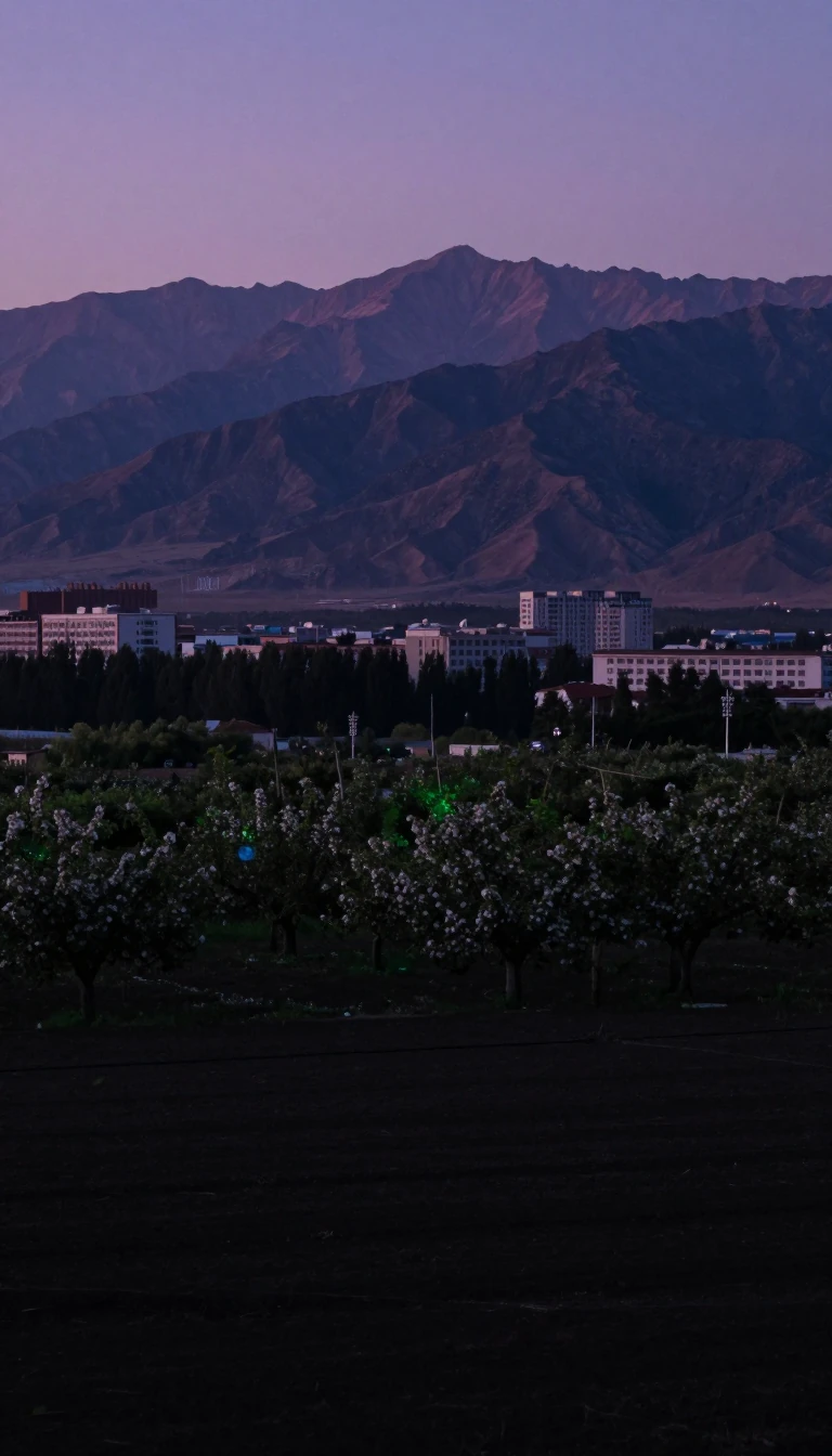
In short: Spanning 38,000 square kilometres, this high-altitude desert is largely uninhabitable, yet it remains a critical strategic asset. Administered by China but claimed by India, the region has been the site of decades of tension, military infrastructure development, and violent border clashes, serving as a vital link between Xinjiang and Tibet.
Aksai Chin is a vast, elevated tableland located at an average height of 5,000 metres. Historically considered a desolate, ill-defined region, it gained strategic importance as the only year-round route connecting the Tarim Basin and Tibet. The territory is currently administered by China as part of Xinjiang and Tibet, while India claims it as the easternmost portion of the Ladakh district. The boundary separating these claims is known as the Line of Actual Control.
The dispute traces its origins to the 19th century, when various boundary lines were proposed but never mutually settled. The British-proposed Johnson Line of 1865 placed the region in Kashmir, while the Macartney-MacDonald Line of 1899 placed it in China. Following India's independence in 1947, the government adopted the Johnson Line as its official boundary. However, China maintained control, eventually constructing the China National Highway 219 through the area in the 1950s—a move that triggered the 1962 Sino-Indian War.
Tensions have persisted into the 21st century, marked by military standoffs and infrastructure expansion. In 2020, a violent clash near Pangong Lake resulted in at least 20 Indian deaths and four Chinese deaths. Beyond its military utility, the region contains significant natural resources; in the 2010s, geological surveys identified major lead-zinc deposits, such as the Huoshaoyun mine, where development began in 2017. China continues to integrate the region, with plans for new highways like the G695 to traverse the territory.
The name itself remains a subject of linguistic debate. While often translated as 'white stone desert,' some scholars suggest it stems from 'Aqsai Chöl,' meaning 'white ravine desert.' Regardless of its etymology, the region’s status as a 'no-man's-land' has evolved into a permanent fixture of geopolitical friction, underscored by the existence of a massive 1:500 scale terrain model in Ningxia used for military simulation.
Opens the Intellect+ feed with this card first. Swipe up for the next one.
Sources
- Summary by Intellect · source: Aksai Chin
- Also: Wikidata — Aksai Chin · CC0
- Also: Wikidata — Aksai Chin · CC0
To cite this card, link to https://intellectplus.co.uk/app/places-aksai-chin.
How we source, check and correct cards: Editorial standards.
General information, not professional advice. Spotted an error? Flag the card or see corrections and complaints.
Intellect Plus is a visual educational discovery platform for exploring fascinating facts and ideas. Brain Food, Not Brain Rot. What is Intellect Plus?
Related
More in Countries and other regions · More in Countries & Cities · Latest · A–Z · All topics
