The river that flows as the heart of the Ohio and Mississippi
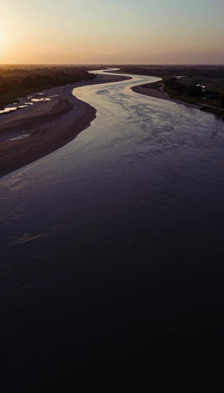
In short: Spanning 325 miles across Pennsylvania and New York, the Allegheny River is more than just a waterway. By volume, it acts as the primary headstream for both the Ohio and Mississippi Rivers, serving as a vital artery for the continent's massive drainage systems and a historical driver of industrial extraction.
The Allegheny River's identity is deeply tied to the indigenous peoples of the region. While its exact etymology remains unclear, it is linked to several Lenape/Unami phrases, such as 'Alikehane,' meaning 'river where footprints can be seen.' Historically, both Native Americans and European settlers viewed the river as the upper reaches of the Ohio River. The Seneca language refers to it as Ohi:'i:o, meaning 'river beautiful.'
The river's geography is defined by a zigzagging course through western Pennsylvania and New York. It drains a dissected plateau covering approximately 11,580 square miles, providing the northeasternmost drainage for the Mississippi River watershed. In the 19th century, the valley became a powerhouse for fossil fuel extraction, containing significant deposits of coal, petroleum, and natural gas. In 1859, Titusville, located north of the river, saw the first U.S. petroleum drilling. This undertaking sparked intense debate because it submerged territory granted to the Seneca Nation of Indians via the 1794 Treaty of Canandaigua, encompassing Kinzua and Corydon villages.
Modern infrastructure has significantly altered the river's flow. In 1965, the construction of the Kinzua Dam for flood control created the 24-mile-long Allegheny Reservoir. At the Pittsburgh 'Point', the river meets the Monongahela to create the Ohio River. Despite this, segments of the river remain protected; in 1992, 86.6 miles were designated as Wild and Scenic.
Today, the river remains a commercial and recreational resource. A series of locks and dams, constructed in the early 20th century, allow for navigation from Pittsburgh up to East Brady. From there, the waterway flows onwards towards the Gulf of Mexico.
Opens the Intellect+ feed with this card first. Swipe up for the next one.
Sources
- Summary by Intellect · source: Allegheny River
- Also: Wikidata — Allegheny River · CC0
- Also: www.fws.gov — Allegheny River
- Also: Wikidata — Allegheny River drainage basin · CC0
To cite this card, link to https://intellectplus.co.uk/app/places-allegheny-river.
How we source, check and correct cards: Editorial standards.
General information, not professional advice. Spotted an error? Flag the card or see corrections and complaints.
Intellect Plus is a visual educational discovery platform for exploring fascinating facts and ideas. Brain Food, Not Brain Rot. What is Intellect Plus?
Related
More in Basics · More in Countries & Cities · Latest · A–Z · All topics
