The American Cordillera is not a single mountain range but a complex geologic mosaic.
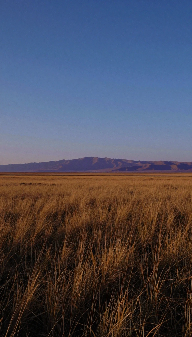
In short: Maps suggest the American Cordillera is a uniform backbone of mountains, but this is a geographic illusion. Beneath the surface, the system is a fractured, diverse collection of disparate sections, ranging from massive granitic upwarps to volcanic fields and sedimentary basins, each with its own distinct origin and topography.
The American Cordillera serves as the western backbone of the Americas, stretching from the Alaska Range in the north through Central America and down to the Andes in South America, eventually reaching the Antarctic Peninsula. While often viewed as a continuous chain, the system is defined by extreme geologic and topographic heterogeneity. In the United States, the Cordillera is split into two primary, non-homogeneous chains: the Rocky Mountains to the east and the Pacific ranges to the west.
The Rocky Mountains are far from uniform. The Southern Rockies, for instance, consist of disconnected granitic upwarps, while the Middle Rockies contain varied landscapes shaped by thrust faulting and volcanism. Crucially, the Rockies are not a monolithic barrier. The Wyoming Basin, an intermontane gap filled with sedimentary waste, has historically allowed major transportation routes to circumvent the main ranges. Further north, the Northern Rockies feature a backbone of batholiths—massive, cooled molten rock—that have been eroded into rugged wilderness.
The Pacific branch of the Cordillera is equally complex, concealing its diversity behind a facade of apparent simplicity. It consists of two mountain lines separated by a discontinuous trench. The Pacific Coast Ranges alone contain five distinct geologic sections, ranging from the faulted, island-like Transverse Ranges of southern California to the domal upwarps of the Olympic Mountains. Between these coastal chains and the inland Sierra Nevada and Cascade Range lie fertile, low-lying troughs like California’s Central Valley, which have served as the primary centers of population and economic activity for over a century.
Understanding the Cordillera requires looking past the surface. Whether it is the linear, eroded ridges of the California Coast Ranges—home to the San Andreas Fault—or the glaciated, high-elevation peaks of Colorado, the system is a mosaic of different tectonic and erosional histories. This complexity explains why the region’s geography varies so wildly, from the austere, high-altitude meadows of the Front Range to the lush, rain-soaked slopes of the Pacific Northwest.
Opens the Intellect+ feed with this card first. Swipe up for the next one.
Sources
- Summary by Intellect · source: United States - The Western Cordillera | Britannica
- Also: American Cordillera
To cite this card, link to https://intellectplus.co.uk/app/places-american-cordillera.
How we source, check and correct cards: Editorial standards.
General information, not professional advice. Spotted an error? Flag the card or see corrections and complaints.
Intellect Plus is a visual educational discovery platform for exploring fascinating facts and ideas. Brain Food, Not Brain Rot. What is Intellect Plus?
Related
More in Land relief · More in Countries & Cities · Latest · A–Z · All topics
