The Anadyr Highlands: A Vast Arctic Wilderness Hidden in Russia's Far Eastern Reach
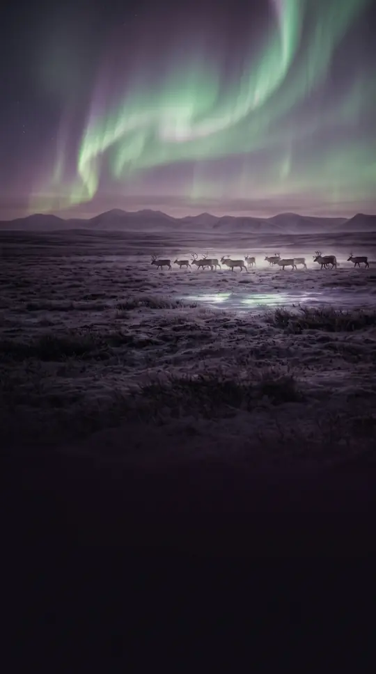
In short: Spanning the remote Chukotka Autonomous Okrug, the Anadyr Highlands form a rugged, mountainous expanse defined by tundra, impact craters, and complex river systems. This vast region, sitting near the Arctic Circle, serves as a critical watershed for the Far Eastern Federal District, housing diverse subranges and a massive central plateau.
The Anadyr Highlands represent one of the two primary mountain regions within Russia's Chukotka Autonomous Okrug. Situated in the western portion of the territory, the highlands are geographically hemmed in by the Chaun Lowlands to the north, the Anadyr Lowlands to the southeast, and the Kolyma Lowlands to the west. This complex terrain is characterized by medium-height mountain ranges that stretch in varying directions, creating a distinct topographical barrier between the Kolyma Mountains in the southwest and the Chukotka Mountains to the northeast.
At the heart of this system lies the Anadyr Plateau, a sprawling feature measuring approximately 400 kilometers in length and 150 kilometers in width. Positioned near the latitude of the Arctic Circle, the plateau maintains an average elevation between 700 and 800 meters. Its landscape is primarily dominated by tundra and shrubs, though it is perhaps most famous for containing Lake Elgygytgyn, a striking impact crater lake located in a central position. This lake acts as a significant hydrological hub, feeding the Enmyvaam River to the south and the Chaun River to the north.
Beyond the plateau, the highlands comprise a series of distinct subranges, each contributing to the region's rugged profile. These include the Ilirney Range, home to the notable Dvukh Tsirkov peak at 1,785 meters, and the Anyuy Range, which reaches 1,779 meters at Blokhin Peak. Other significant formations include the Rauchuan, Pyrkanay, and Chuvanay ranges. The area is a vital source for several major rivers, including the Anadyr, Belaya, and the twin Anyuy rivers, which flow westward on either side of the Anyuy Range. This intricate network of peaks and waterways defines the character of this remote, largely untouched Arctic environment.
Opens the Intellect+ feed with this card first. Swipe up for the next one.
Sources
- Summary by Intellect · source: Anadyr Highlands
- Also: Wikidata — Anadyr Highlands · CC0
To cite this card, link to https://intellectplus.co.uk/app/places-anadyr-highlands.
How we source, check and correct cards: Editorial standards.
General information, not professional advice. Spotted an error? Flag the card or see corrections and complaints.
Intellect Plus is a visual educational discovery platform for exploring fascinating facts and ideas. Brain Food, Not Brain Rot. What is Intellect Plus?
Related
More in Land relief · More in Countries & Cities · Latest · A–Z · All topics
