The Mississippi River is trying to leave its path, and this river is the reason.
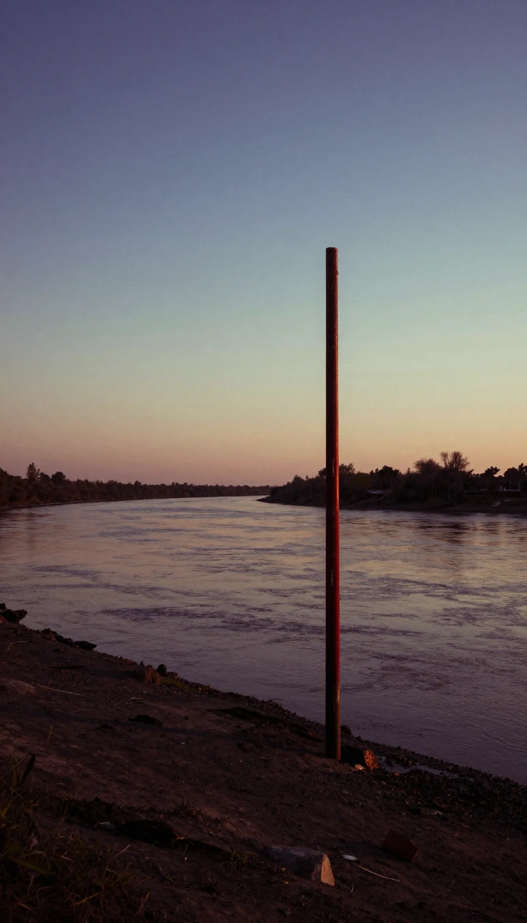
In short: The Atchafalaya River is a 137-mile-long distributary that threatens to capture the main flow of the Mississippi. If natural forces prevail, the Mississippi could abandon its current route through Baton Rouge and New Orleans. Today, a massive engineering complex works tirelessly to prevent this geological shift from occurring.
The Atchafalaya River, whose name derives from the Choctaw words for 'long river', serves as a vital industrial shipping channel and the cultural core of Louisiana's Cajun Country. Formed near Simmesport at the confluence of the Red and Mississippi Rivers, it currently receives 30% of their combined flow. This connection was significantly altered between 1839 and 1849, when local efforts to clear a massive log jam known as the Great Raft transformed the Atchafalaya into a major distributary of the Mississippi.
Because the Atchafalaya offers a shorter, steeper path to the Gulf of Mexico, it naturally seeks to capture the Mississippi's full volume. To prevent this, the U.S. Army Corps of Engineers has spent over a century managing the flow through the Old River Control Structure. This complex system, which includes navigation locks, power plants, and various spillways, regulates the water volume. During the 2011 floods, the complex discharged over 706,000 cubic feet per second into the Atchafalaya, while the Morganza Spillway was also activated to manage the surge.
Despite these extensive engineering efforts, the battle against nature continues. Some researchers argue that the probability of the Mississippi shifting its course increases annually due to the inherent dynamics of river deltas. Meanwhile, the Atchafalaya itself is undergoing a unique transformation. Since the late 20th century, it has been building a new delta in Atchafalaya Bay, making it the only location along the Louisiana coastline that is currently gaining land rather than eroding. In recognition of its ecological and cultural significance, the valley was designated as the Atchafalaya National Heritage Area in 2006.
Opens the Intellect+ feed with this card first. Swipe up for the next one.
Sources
- Summary by Intellect · source: Atchafalaya River
- Also: Wikidata — Atchafalaya River · CC0
- Also: Wikidata — Atchafalaya River drainage basin · CC0
To cite this card, link to https://intellectplus.co.uk/app/places-atchafalaya-river.
How we source, check and correct cards: Editorial standards.
General information, not professional advice. Spotted an error? Flag the card or see corrections and complaints.
Intellect Plus is a visual educational discovery platform for exploring fascinating facts and ideas. Brain Food, Not Brain Rot. What is Intellect Plus?
Related
More in Bodies of water · More in Countries & Cities · Latest · A–Z · All topics
