A town built on seven brooks and ancient Roman roads
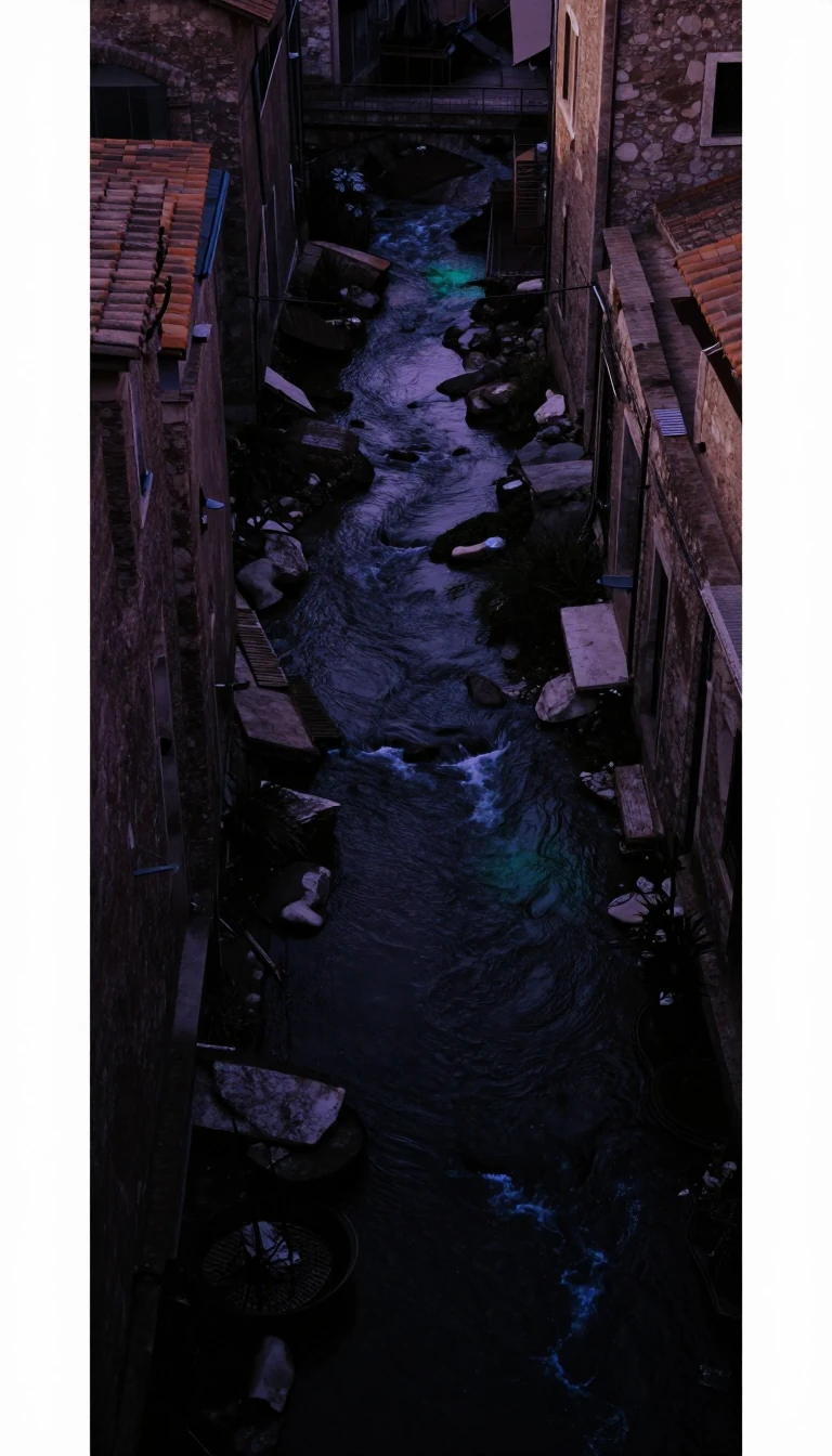
In short: Before it was an industrial hub of coal and cotton, Atherton was defined by its water. The town's very name likely stems from the Saxon word for "little brook," a fitting title for a landscape carved by multiple waterways that shaped its early settlement and identity.
The geography of Atherton is fundamentally tied to its hydrology. Historically, the area was built on and around seven distinct brooks. One such waterway, Hindsford Brook, serves as the western boundary; it was originally known as Goderic Brook, named after a Saxon saint. These water sources were so central to the town's identity that one leading theory suggests the name "Atherton" derives from the Old English word "adre," meaning little brook, combined with the suffix "tun," signifying an enclosure or manor. The town's name might also be linked to a man named Aethelhere. This alternative theory suggests the suffix tun refers specifically to his farmstead or manor estate.
The area’s significance predates modern industry by centuries. Archaeological findings show that a Roman thoroughfare traversed this territory, tracing an old path linking Mamucium (Manchester) and Coccium (Wigan). After Anglo-Saxon incursions, the site joined Warrington's manor, later shifting into Leigh's parish throughout the Norman Conquest. By 1259, it was officially recorded as Atherton, though local residents still frequently use the name "Chowbent" or "Bent," referring to a built-up area that existed for at least 300 years starting in the mid-17th century. Records from 1212 and 1242 show the town was previously known as Aderton. The Chow family lived in a valley by Chanters Brook during this era. Their residence became known as Chow's Bent.
While the town eventually became a powerhouse of the Industrial Revolution—hosting coal mines until 1966 and cotton mills until 1999—its roots remain aquatic. Today, it serves as a major retail center in the Borough of Wigan, but its physical layout still reflects its origins as a settlement defined by the natural flow of water through the Lancashire landscape. The local economy saw significant manufacturing of nuts and bolts alongside iron foundries. Approximately 20% of the current workforce is employed in wholesale or retail trades.
Opens the Intellect+ feed with this card first. Swipe up for the next one.
Sources
- Summary by Intellect · source: Atherton (Greater Manchester) weather
- Also: Atherton, Greater Manchester
- Also: Atherton | Town, Lancashire, History | Britannica
To cite this card, link to https://intellectplus.co.uk/app/places-atherton-greater-manchester.
How we source, check and correct cards: Editorial standards.
General information, not professional advice. Spotted an error? Flag the card or see corrections and complaints.
Intellect Plus is a visual educational discovery platform for exploring fascinating facts and ideas. Brain Food, Not Brain Rot. What is Intellect Plus?
Related
More in Bodies of water · More in Countries & Cities · Latest · A–Z · All topics
