Cape Cod is a geologically young, shifting landscape shaped by ice and the sea.
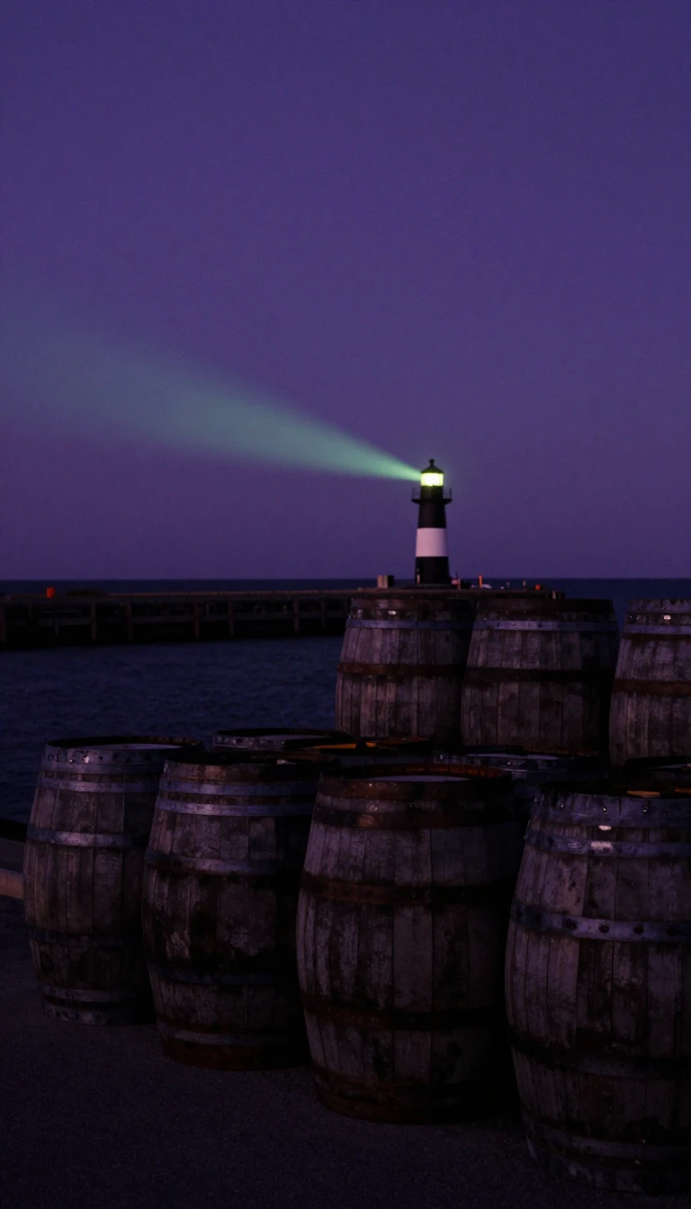
In short: Cape Cod is not a permanent fixture of the Atlantic coast. Formed by retreating glaciers roughly 16,000 to 20,000 years ago, this peninsula is a dynamic, eroding landform. While waves destroy beaches in some areas, they simultaneously build new land elsewhere, ensuring the Cape remains in a constant state of flux.
The peninsula’s physical identity is rooted in the Laurentide Ice Sheet, which reached its maximum extent about 23,000 years ago. As the ice retreated, it left behind terminal moraines and outwash plains that define the region today. This geological youth is evident in the kettle ponds scattered across the landscape, formed by melting ice blocks. The Cape is part of a larger archipelagic chain known as the Outer Lands, which includes Long Island and Block Island.
Coastal evolution is driven by longshore drift, a process that has been active for 6,000 years. As sea levels rose—initially at 15 meters per millennium—the ocean began eroding glacial deposits. This sediment is transported along the coast, creating landforms like the spit that forms the town of Provincetown, while simultaneously causing the loss of barrier islands. This erosion is so significant that the Cape is expected to be submerged within several thousand years.
Human history on the Cape is equally layered. The Wampanoag people managed the land for centuries, using controlled fire to maintain the ecosystem. European settlers, beginning in the 17th century, cleared forests for fuel and agriculture, leading to severe soil erosion that Henry Thoreau observed during his mid-19th-century visits. Today, the region is a mix of protected national seashore, dense residential development, and a unique maritime climate that supports subtropical plants despite its northern latitude.
The Cape's geography is further defined by the Cape Cod Canal, completed in 1914, which physically separates the majority of the peninsula from the mainland. This infrastructure, along with the region's reliance on six hydrologically independent groundwater lenses, underscores the challenges of managing a fragile, island-like environment that remains highly susceptible to both rising seas and extreme weather events like hurricanes.
Opens the Intellect+ feed with this card first. Swipe up for the next one.
Sources
- Summary by Intellect · source: Cape Cod
- Also: Wikidata — Cape Cod · CC0
- Also: Wikidata — Cape Cod · CC0
To cite this card, link to https://intellectplus.co.uk/app/places-cape-cod.
How we source, check and correct cards: Editorial standards.
General information, not professional advice. Spotted an error? Flag the card or see corrections and complaints.
Intellect Plus is a visual educational discovery platform for exploring fascinating facts and ideas. Brain Food, Not Brain Rot. What is Intellect Plus?
Related
More in Peninsulas · More in Countries & Cities · Latest · A–Z · All topics
