The Bōsō Peninsula is a Japanese landscape of extreme contrasts and industrial might
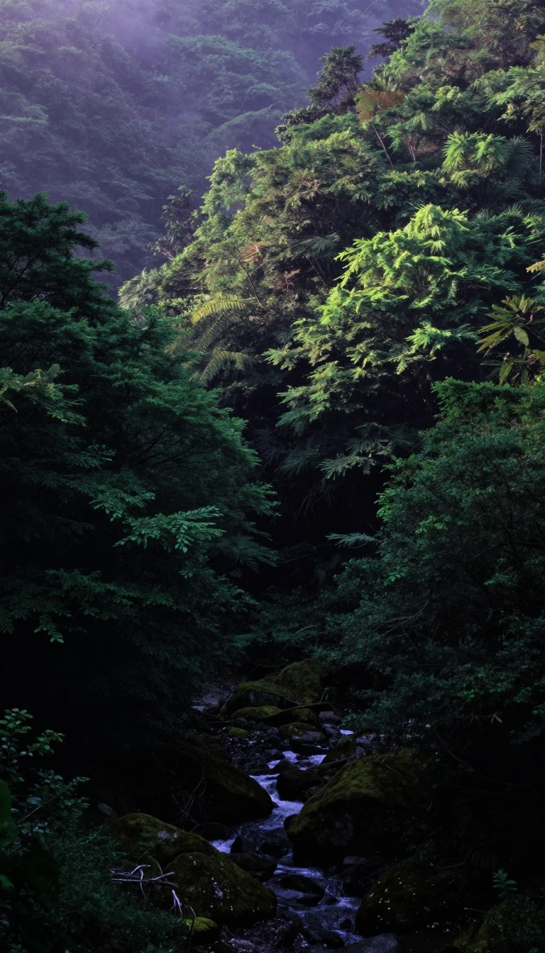
In short: Spanning the entirety of Chiba Prefecture, the Bōsō Peninsula serves as the eastern boundary of Tokyo Bay. It is a region defined by a stark duality: while its northern and western reaches are heavily urbanized and industrialized, its southern interior remains defined by rolling hills and traditional agricultural landscapes.
Geographically, the peninsula acts as a buffer between the Pacific Ocean to the east and south and the sheltered waters of Tokyo Bay to the west. Its northern border is defined by the flow of the Tone and Edo rivers. The terrain shifts significantly from north to south; the Shimōsa Plateau dominates the northern landscape, while the Bōsō Hill Range forms the rugged backbone of the south. Mount Atago, situated within the borders of Minamibōsō and Kamogawa, stands as the highest peak at 408.2 meters.
The economic identity of the peninsula is equally diverse. The western coastline hosts the Keiyō Industrial Zone, a massive corridor of manufacturing stretching from Urayasu to Futtsu. This area is a vital component of the Greater Tokyo Area, supported by infrastructure like the Tokyo Bay Aqua-Line, which provides a direct bridge-tunnel link to Kawasaki. Conversely, the interior river valleys and the Shimōsa Plateau remain centers for rice cultivation, maintaining a connection to the region's agrarian history.
The name Bōsō itself is a linguistic artifact, derived from the historical provinces of Awa, Kazusa, and Shimōsa that once occupied the land. Today, the Japan Meteorological Agency categorizes the peninsula into two distinct coastal zones: the Uchibō, or inner coast, and the Sotobō, or outer coast. Beyond the industrial hubs, the region preserves significant natural areas, including the Suigo-Tsukuba Quasi-National Park in the northeast and the Minami Bōsō Quasi-National Park along the eastern shore, illustrating a complex balance between human development and protected environment.
Opens the Intellect+ feed with this card first. Swipe up for the next one.
Sources
- Summary by Intellect · source: Bōsō Peninsula
- Also: Bōsō Peninsula | Chiba Prefecture, Pacific Coast, Izu Islands | Britannica
- Also: Wikidata — Bōsō Peninsula · CC0
To cite this card, link to https://intellectplus.co.uk/app/places-b-s-peninsula.
How we source, check and correct cards: Editorial standards.
General information, not professional advice. Spotted an error? Flag the card or see corrections and complaints.
Intellect Plus is a visual educational discovery platform for exploring fascinating facts and ideas. Brain Food, Not Brain Rot. What is Intellect Plus?
Related
More in Peninsulas · More in Countries & Cities · Latest · A–Z · All topics
