The Venezuelan mountain hiding giant sinkholes and isolated prehistoric forest ecosystems
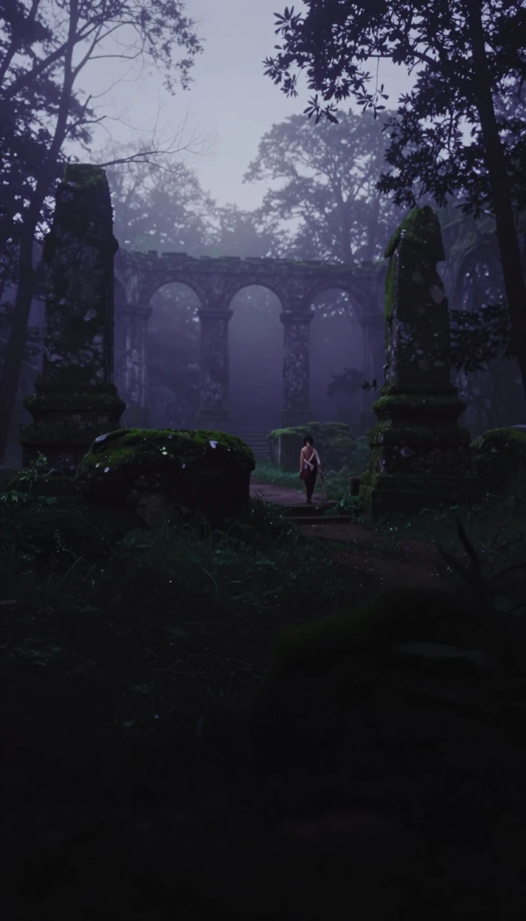
In short: Deep within the remote Jaua-Sarisariñama National Park lies a flat-topped tepui defined by its geological anomalies. While its summit hosts a unique, dense forest, the mountain is most famous for four massive sinkholes that have puzzled explorers for decades, revealing secrets about erosion and isolated life in the clouds.
Cerro Sarisariñama is a Paleoproterozoic quartzite tepui located in the far southwest of Venezuela’s Bolívar State. Its name stems from a local Ye'kuana legend describing an evil spirit that inhabited the mountain's caves, consuming humans while making a distinctive 'Sari... sari...' sound. Rising to an altitude of 2,350 meters, the mountain remains exceptionally isolated, with the nearest road situated 35 miles away. This remoteness helped preserve a unique 15- to 25-meter-high forest that blankets the summit, creating an ecosystem rich in endemic species.
The mountain's most striking features are its four massive sinkholes, which were first reported by pilots in 1954. Interest in the site surged in 1961 after Harry Gibson spotted the two largest formations from the air. It was not until 1974 that researchers finally reached the summit via helicopter to begin scientific investigations. These expeditions included a descent into Sima Humboldt, which measures 352 meters in width and 314 meters in depth. The sinkholes are not merely geological curiosities; they contain their own distinct, isolated forest ecosystems at their bases.
A pivotal moment in understanding these structures occurred in 1976 during a joint Venezuelan-Polish expedition, which discovered the Sima de la Lluvia. This sinkhole, stretching 1.35 kilometers, provided critical insights into the erosion processes that shape quartzite tepuis. For nearly twenty years, it held the title of the world's longest quartzite cave, though it has since been surpassed by a 10.8-kilometer cave system found on Mount Roraima. Today, the site remains protected, with access strictly limited to scientific researchers who continue to study its complex, ancient environment.
Opens the Intellect+ feed with this card first. Swipe up for the next one.
Sources
- Summary by Intellect · source: Cerro Sarisariñama
- Also: Wikidata — Mount Sarisariñama · CC0
To cite this card, link to https://intellectplus.co.uk/app/places-cerro-sarisari-ama.
How we source, check and correct cards: Editorial standards.
General information, not professional advice. Spotted an error? Flag the card or see corrections and complaints.
Intellect Plus is a visual educational discovery platform for exploring fascinating facts and ideas. Brain Food, Not Brain Rot. What is Intellect Plus?
Related
More in Mountain peaks and volcanos · More in Countries & Cities · Latest · A–Z · All topics
