How a 17th-century county transformed into a modern, sprawling independent city
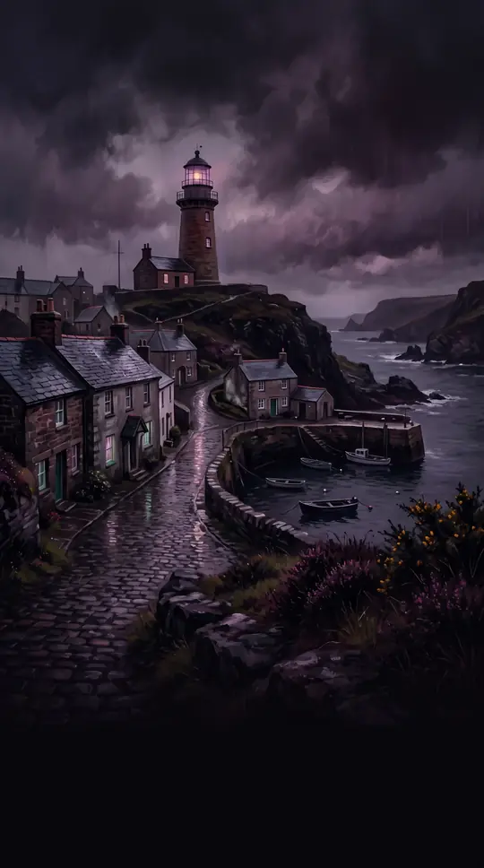
In short: Chesapeake, Virginia, is a geographic anomaly. Born from a 1963 voter referendum that merged the city of South Norfolk with the remnants of Norfolk County, this sprawling municipality balances urban development with vast protected wetlands. It remains one of the largest cities by land area in the United States.
The origins of Chesapeake trace back to the Virginia Colony, where Norfolk County was established in 1691. Over centuries, the county's territory was steadily eroded by annexations from neighboring cities like Norfolk and Portsmouth. By the late 1950s, the small independent city of South Norfolk—which had incorporated in 1919—faced the existential threat of losing its remaining land to further annexations. To stabilize their borders and secure their future, residents voted to consolidate South Norfolk with the remaining Norfolk County, creating the new independent city of Chesapeake in 1963.
Today, Chesapeake covers 350.95 square miles, a massive footprint that includes a significant portion of the Great Dismal Swamp National Wildlife Refuge. This vastness creates a unique municipal challenge: city leaders must manage the competing interests of industrial and residential growth against the preservation of forests and wetlands. The city’s history is equally layered, featuring the 1775 Battle of Great Bridge, which helped remove English government from Virginia, and the Dismal Swamp Canal, known as 'Washington's Ditch,' which remains the oldest continuously used man-made canal in the country.
The city’s rapid growth in the 1990s transformed it from a quiet bedroom community into a significant economic hub, now home to the international headquarters of Dollar Tree. However, this expansion brought infrastructure strain, including road congestion and saltwater intrusion into the water supply. As Chesapeake continues to evolve, it remains a complex landscape where colonial history, modern industry, and protected wilderness intersect, all while navigating the logistical demands of being one of the largest cities in the Commonwealth of Virginia.
Opens the Intellect+ feed with this card first. Swipe up for the next one.
Sources
- Summary by Intellect · source: Chesapeake, Virginia
- Also: Wikidata — Chesapeake · CC0
- Also: Wikidata — Chesapeake · CC0
To cite this card, link to https://intellectplus.co.uk/app/places-chesapeake-virginia.
How we source, check and correct cards: Editorial standards.
General information, not professional advice. Spotted an error? Flag the card or see corrections and complaints.
Intellect Plus is a visual educational discovery platform for exploring fascinating facts and ideas. Brain Food, Not Brain Rot. What is Intellect Plus?
Related
More in Other hydrological features · More in Countries & Cities · Latest · A–Z · All topics
