Lake Chad is a shrinking relic of a massive ancient sea in Africa
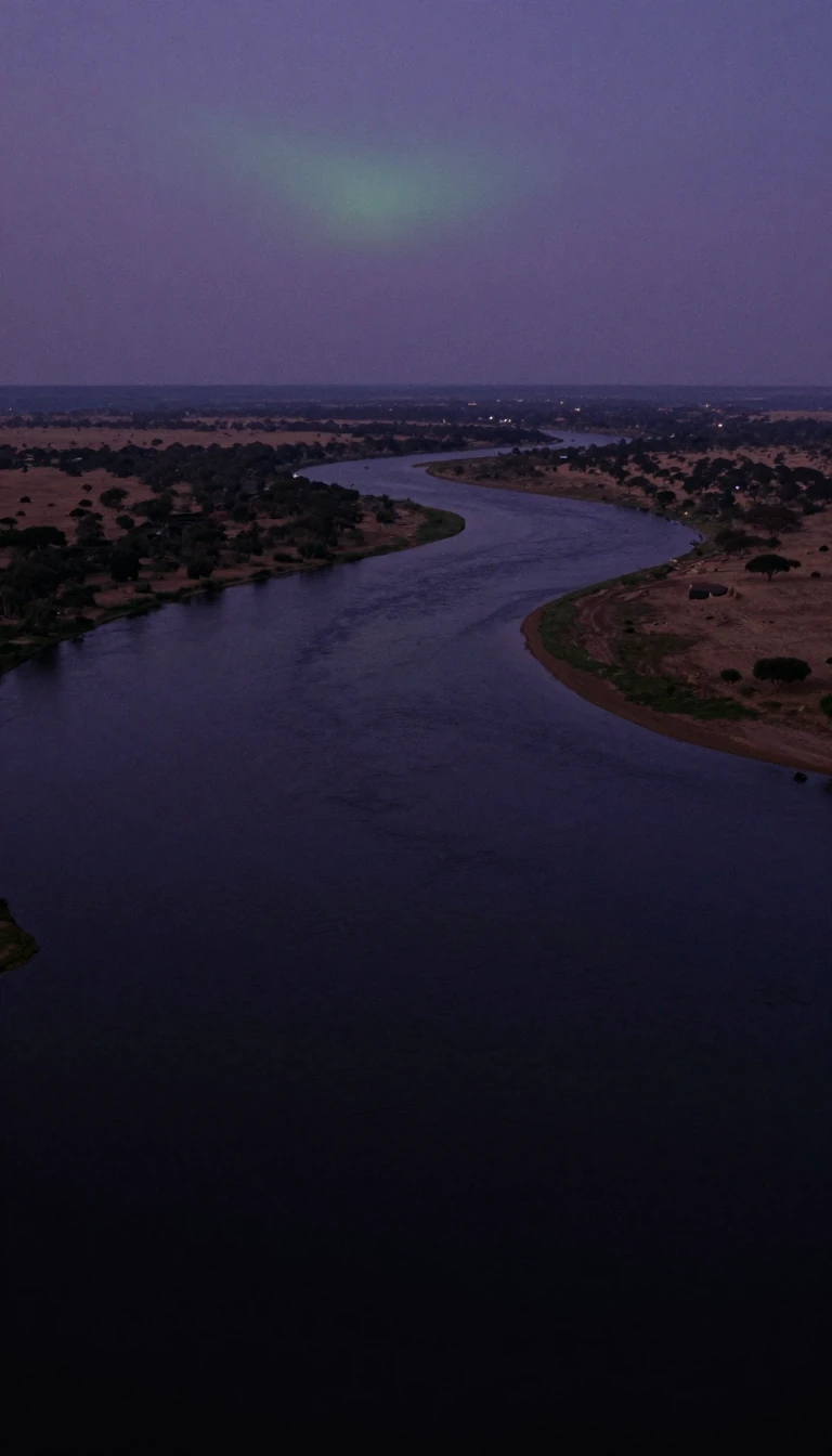
In short: Lake Chad is the heart of a vast, arid depression in Central Africa, supporting over 30 million people. Once a sprawling inland sea, this freshwater lake now fluctuates wildly in size, serving as a sensitive barometer for the shifting climate patterns of the Sahelian zone and the wider African continent.
The Chad Basin is a colossal, downwarped section of the Precambrian African Shield, spanning over 2.4 million square kilometers. At its center lies Lake Chad, a shallow body of water that sits within an interior basin once occupied by Mega-Chad. This ancient sea was enormous, reaching depths of over 180 meters and covering roughly 400,000 square kilometers. It historically emptied into the Atlantic Ocean via the Benue River system, leaving behind a stratigraphic record of diatomaceous earth and marine fossils in areas that are now arid desert.
Today, the lake is a shadow of its former self, with its surface area highly sensitive to seasonal and annual rainfall variability. In the 1960s, the lake covered approximately 22,000 square kilometers, but by the mid-1980s, it had plummeted to less than 1,500 square kilometers. Satellite observations reveal that the lake has frequently split into northern and southern basins, separated by a shallow ridge known as the Great Barrier. During severe droughts, the northern lobe has been known to dry out completely for years at a time.
The hydrology of the region is driven by the Chari-Logone river system, which provides about 80% of the lake's inflow. However, the system is deeply affected by the Atlantic Multi-decadal Oscillation and the El Niño Southern Oscillation, which dictate rainfall patterns in the Sahel. While the lake has experienced wet and dry cycles for thousands of years, modern environmental degradation and increased water usage for irrigation have compounded the natural volatility, leaving the future of this vital resource uncertain for the millions who rely on it.
Interestingly, the lowest point of the basin is not the lake itself, but the Djourab Depression, located 480 kilometers to the northeast. While the lake occasionally overflows into the El-Ghazal River toward this depression, it is typically contained by dune fields. The lake's salt content remains remarkably low for a tropical dryland body with no outlet, a testament to the complex balance of evaporation, transpiration, and groundwater seepage that defines this unique hydrological system.
Opens the Intellect+ feed with this card first. Swipe up for the next one.
Sources
- Summary by Intellect · source: Chad Basin | Niger River, Lake Chad, Sahel | Britannica
- Also: The Rise and Fall of Africa’s Great Lake - NASA Science
- Also: Chad Basin
To cite this card, link to https://intellectplus.co.uk/app/places-chad-basin.
How we source, check and correct cards: Editorial standards.
General information, not professional advice. Spotted an error? Flag the card or see corrections and complaints.
Intellect Plus is a visual educational discovery platform for exploring fascinating facts and ideas. Brain Food, Not Brain Rot. What is Intellect Plus?
Related
More in Other hydrological features · More in Countries & Cities · Latest · A–Z · All topics
