The world's broadest strait holds secrets of ancient tectonic shifts and modern energy wealth.
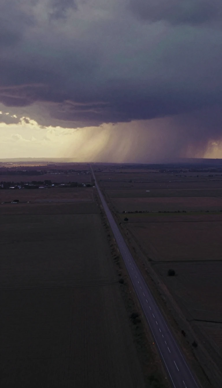
In short: Spanning the icy expanse between Greenland and Canada, the Davis Strait is more than a mere maritime passage. It is a geological crossroads where ancient fault lines meet modern economic ambition, characterized by extreme tides that once terrified early explorers and now challenge the prospect of offshore energy extraction.
Named for the English explorer John Davis, who navigated these waters in the late 16th century while searching for the Northwest Passage, the strait serves as a vital link between the Labrador Sea and Baffin Bay. By the 1650s, the region had become a hub for whaling, though the treacherous conditions—specifically tidal ranges that can reach between 9.1 and 18.3 meters—often proved formidable for wooden sailing vessels.
Beneath the surface, the strait reveals a complex history of plate tectonics. Formed during the Paleogene period, roughly 45 to 62 million years ago, the area is defined by a series of buried grabens and ridges. These features were shaped by strike-slip faulting along the Ungava Fault Zone, a process that effectively transferred tectonic motions from the Labrador Sea northward into Baffin Bay. While it remains the world's broadest strait, it is notably shallower than the neighboring Labrador Sea, with depths typically ranging from 1,000 to 2,000 meters.
Today, the region is the focus of intense interest regarding global energy reserves. Estimates from the United States Geological Survey suggest that the Arctic may contain significant portions of the world's undiscovered oil and gas. Because the seas west of Greenland—particularly the Davis Strait—are believed to hold substantial natural gas and crude oil deposits, the local government has opened numerous offshore concessions. This shift marks a transition for the strait, moving from a historic whaling ground to a potential frontier for hydrocarbon extraction, despite the environmental and logistical complexities inherent in such a remote, high-latitude marine environment.
Opens the Intellect+ feed with this card first. Swipe up for the next one.
Sources
- Summary by Intellect · source: Davis Strait
- Also: Wikidata — Davis Strait · CC0
- Also: Wikidata — Davis Strait · CC0
To cite this card, link to https://intellectplus.co.uk/app/places-davis-strait.
How we source, check and correct cards: Editorial standards.
General information, not professional advice. Spotted an error? Flag the card or see corrections and complaints.
Intellect Plus is a visual educational discovery platform for exploring fascinating facts and ideas. Brain Food, Not Brain Rot. What is Intellect Plus?
Related
More in Bodies of water · More in Countries & Cities · Latest · A–Z · All topics
