A horseshoe-shaped Antarctic volcano that hides a massive, sheltered natural harbour inside
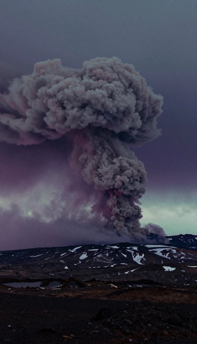
In short: Deception Island is not just a remote Antarctic destination; it is the exposed caldera of an active shield volcano. Its narrow entrance, Neptune's Bellows, opens into a vast, flooded bay that has served as a whaling hub, a strategic military outpost, and a site for ambitious, failed electromagnetic experiments.
Located in the South Shetland Islands, Deception Island is a roughly circular, horseshoe-shaped landmass spanning about 15 km in diameter. The island is the visible peak of a 30 km wide active shield volcano. Its center, Port Foster, is a large bay formed by the sea flooding the caldera, rimmed by sandy-gravelly beaches and steep cliffs. The island's geography is defined by its volcanic history, with over half its surface covered by glaciers, ice-cored moraines, or pyroclastic deposits.
Human history on the island has been marked by cycles of exploitation and abandonment. In the early 19th century, it became a focal point for the fur-sealing industry, though the population of seals was quickly decimated. By the early 20th century, the island hosted a successful, shore-based whaling station at Whalers Bay, which operated until 1931. During the Second World War, the British established a base under Operation Tabarin to deny the island to enemy forces, a move that fueled long-standing sovereignty disputes with Argentina and Chile.
The island's volcanic nature remains its most volatile feature. Major eruptions in 1967, 1969, and 1970 caused significant damage to scientific stations and forced evacuations. Today, the island is a popular tourist destination, attracting over 15,000 visitors annually. It also holds ecological significance, designated as an Antarctic specially protected area due to its unique botanical value, as frequent volcanic activity creates new substrates for rare plant species to colonize.
Beyond geology and history, the island has served as a site for unconventional science. In 1960, researchers attempted to use the island as a giant antenna to transmit very-low-frequency electromagnetic waves through the Earth's magnetic field. While the experiment failed to transmit due to geological leaks, the island proved effective as a receiving antenna. Today, the island remains a site of ongoing research, with studies ranging from historical penguin population dynamics to modern concerns like microplastic contamination.
Opens the Intellect+ feed with this card first. Swipe up for the next one.
Sources
- Summary by Intellect · source: Deception Island
- Also: Wikidata — Deception Island · CC0
- Also: Wikidata — Deception Island · CC0
To cite this card, link to https://intellectplus.co.uk/app/places-deception-island.
How we source, check and correct cards: Editorial standards.
General information, not professional advice. Spotted an error? Flag the card or see corrections and complaints.
Intellect Plus is a visual educational discovery platform for exploring fascinating facts and ideas. Brain Food, Not Brain Rot. What is Intellect Plus?
Related
More in Islands · More in Countries & Cities · Latest · A–Z · All topics
