Malta sits on a submerged bridge connecting the tectonic plates of Europe and Africa
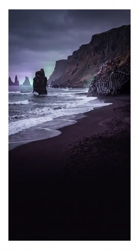
In short: Far from being a simple island, Malta is the exposed peak of a massive undersea shelf. This limestone archipelago, located between Sicily and the African coast, is currently facing a dual challenge: rising sea levels and a critical shortage of natural freshwater that threatens its future stability.
The Maltese archipelago is defined by its unique geological foundation, the Malta-Hyblean Platform. This wide, submerged shelf acts as a bridge connecting the Ragusa Platform in southern Sicily to the Tripolitana Platform in Libya. The islands themselves are composed of sedimentary rock sequences dating from the late Oligocene to the late Miocene, which were later fractured by Pliocene-era extensional faults. This geological history has created a landscape of high hills and terraced fields, with the highest point, Ta' Dmejrek, reaching 253 metres above sea level.
Water is the central theme of Malta's geography, both as a resource and a threat. The nation relies heavily on desalination to supplement its limited natural freshwater. Climate models suggest that by 2100, rising water demand and reduced groundwater recharge could lead to a significant decline in freshwater storage. Furthermore, localized overextraction, particularly in the southeast, has accelerated saltwater intrusion into the mean sea-level aquifer, risking contamination of the remaining supply.
Beyond the immediate water crisis, the archipelago is highly vulnerable to the broader impacts of climate change in the Mediterranean. Experts from the MedECC network project that average annual air temperatures could rise by more than 3.8 °C by 2100, while sea levels are expected to climb between 52 and 190 cm. These shifts threaten to increase the frequency of extreme weather events, such as heat waves and floods, while seawater acidification and rising temperatures continue to alter the marine ecosystem, potentially replacing native species with those migrating from the Red Sea.
Opens the Intellect+ feed with this card first. Swipe up for the next one.
Sources
- Summary by Intellect · source: Geography of Malta
- Also: Malta | History, Language, Map, People, & Points of Interest | Britannica
- Also: Wikidata — Geography of Malta · CC0
To cite this card, link to https://intellectplus.co.uk/app/places-geography-of-malta.
How we source, check and correct cards: Editorial standards.
General information, not professional advice. Spotted an error? Flag the card or see corrections and complaints.
Intellect Plus is a visual educational discovery platform for exploring fascinating facts and ideas. Brain Food, Not Brain Rot. What is Intellect Plus?
Related
More in Bodies of water · More in Countries & Cities · Latest · A–Z · All topics
