Vietnam’s geography is defined by two massive river deltas and a rugged mountain spine
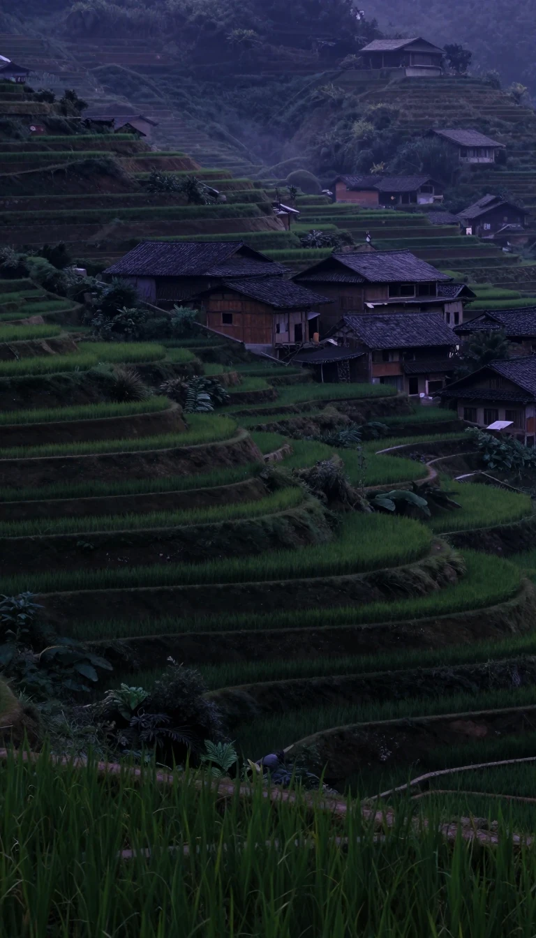
In short: Vietnam is a narrow, S-shaped nation where the landscape dictates the flow of history. From the fertile, flood-prone deltas of the north and south to the formidable Annamese Cordillera that dominates the interior, the country’s physical barriers have long shaped its internal communication, cultural development, and strategic military importance.
The geography of Vietnam is essentially a story of two great alluvial deltas separated by a rugged, mountainous spine. In the north lies the Red River Delta, an ancient, densely populated region that has been the ancestral home of the ethnic Vietnamese for centuries. This delta is a flat, triangular expanse built over millennia by the river's massive sediment deposits. Because much of this region sits at or below three meters above sea level, it is highly susceptible to flooding. To survive and thrive, inhabitants developed an intricate, centuries-old system of dikes and canals, modeled on Chinese engineering, which allows for intensive wet-rice cultivation.
Running down the center of the country is the Annamese Cordillera, or Nui Truong Son. This mountain range acts as a natural barrier, extending from the northwest to the southeast and effectively isolating the coastal plains from the interior. The range is not uniform; in the north, it is narrow and rugged, housing Fan Si Peak, the country's highest point at 10,312 feet. Further south, the mountains broaden into the Central Highlands, a region characterized by basalt plateaus that are vital for agriculture and forestry. These mountains have historically made north-south communication difficult, creating a series of isolated coastal compartments.
In the south, the landscape opens into the vast Mekong River Delta. Unlike the northern delta, which is smaller but more intensely developed, the Mekong region serves as a massive agricultural hub. The interplay between these highlands and lowlands has been a constant in Vietnamese history. The state’s capacity to govern often diminished with distance from the capital, Hanoi, leading to the historical reality that central authority frequently struggled to penetrate the autonomy of local, bamboo-hedged peasant communes. Today, this diverse topography continues to influence everything from population distribution to the country's rapid economic integration into the global market.
Opens the Intellect+ feed with this card first. Swipe up for the next one.
Sources
- Summary by Intellect · source: Vietnam | History, Population, Map, Flag, Government, & Facts | Britannica
- Also: Geography of Vietnam
To cite this card, link to https://intellectplus.co.uk/app/places-geography-of-vietnam.
How we source, check and correct cards: Editorial standards.
General information, not professional advice. Spotted an error? Flag the card or see corrections and complaints.
Intellect Plus is a visual educational discovery platform for exploring fascinating facts and ideas. Brain Food, Not Brain Rot. What is Intellect Plus?
Related
More in Bodies of water · More in Countries & Cities · Latest · A–Z · All topics
