Maranhão: The Brazilian state where the world's tallest mangrove forests meet desert dunes.
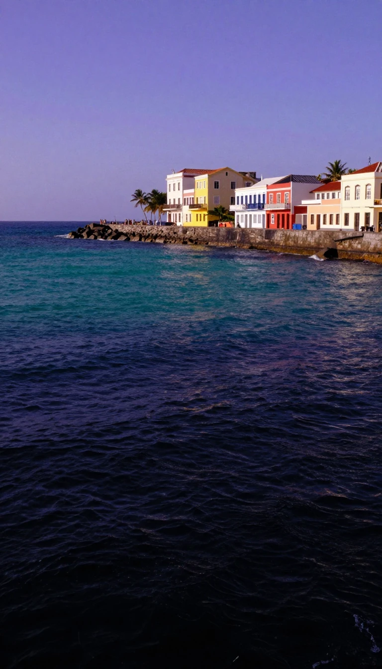
In short: Located in Brazil's Northeast, Maranhão is a land of striking environmental contrasts. From the stark, shifting sands of Lençóis Maranhenses to the towering mangrove forests along its indented coastline, the state balances rich biodiversity with a complex history of colonial struggle, agricultural shifts, and a unique, persistent cultural identity.
Maranhão occupies a diverse landscape that transitions from the tropical moist forests of the Amazon in the north to the Cerrado savannas of the Brazilian Highlands in the south. Its northern coastline is a complex geography of islands, shoals, and bays, including the Baía de São Marcos and Baía de São José, which shelter the world's tallest mangrove forests. Inland, the state is defined by its river systems, such as the Mearim, which features a tidal bore known as the pororoca that complicates navigation, and the Babaçu palm forests, which provide a vital economic resource through oil extraction.
The state's history is marked by shifting colonial powers. Initially explored by the Spaniard Vicente Yáñez Pinzón in 1500, it became a Portuguese captaincy in 1534. However, French explorers established a colony called Equinoctial France in 1612, which the Portuguese reclaimed in 1615. The Dutch also occupied the region briefly from 1641 to 1644. It was not until 1823, following the intervention of British Admiral Lord Cochrane, that Maranhão joined the Empire of Brazil, having initially resisted the 1822 declaration of independence.
Economically, Maranhão remains one of Brazil's poorest states, contributing only 1.3% of the national GDP despite housing 3.4% of the population. Its economy relies heavily on services, agriculture, and industrial exports like aluminium and iron ore. Infrastructure is a significant challenge; while the state benefits from major logistics corridors like the Itaqui Port—the second deepest in the world—it simultaneously struggles with one of the country's weakest road networks, particularly in its southern regions.
Culturally, the state capital, São Luís, stands out as a UNESCO World Heritage site that retains a distinctively Portuguese architectural character. The population is diverse, with a 2005 DNA study in São Luís suggesting an ancestral mix of 42% European, 39% native American, and 19% African heritage. This blend is reflected in the state's literature and its unique dialect, which remains a defining feature of the region's identity.
Opens the Intellect+ feed with this card first. Swipe up for the next one.
Sources
- Summary by Intellect · source: Maranhão
- Also: Wikidata — Maranhão · CC0
- Also: Wikidata — Maranhão · CC0
To cite this card, link to https://intellectplus.co.uk/app/places-maranh-o.
How we source, check and correct cards: Editorial standards.
General information, not professional advice. Spotted an error? Flag the card or see corrections and complaints.
Intellect Plus is a visual educational discovery platform for exploring fascinating facts and ideas. Brain Food, Not Brain Rot. What is Intellect Plus?
Related
More in Regions and country subdivisions · More in Countries & Cities · Latest · A–Z · All topics
