The Indian Ocean archipelago that was once a pawn in European colonial ambitions
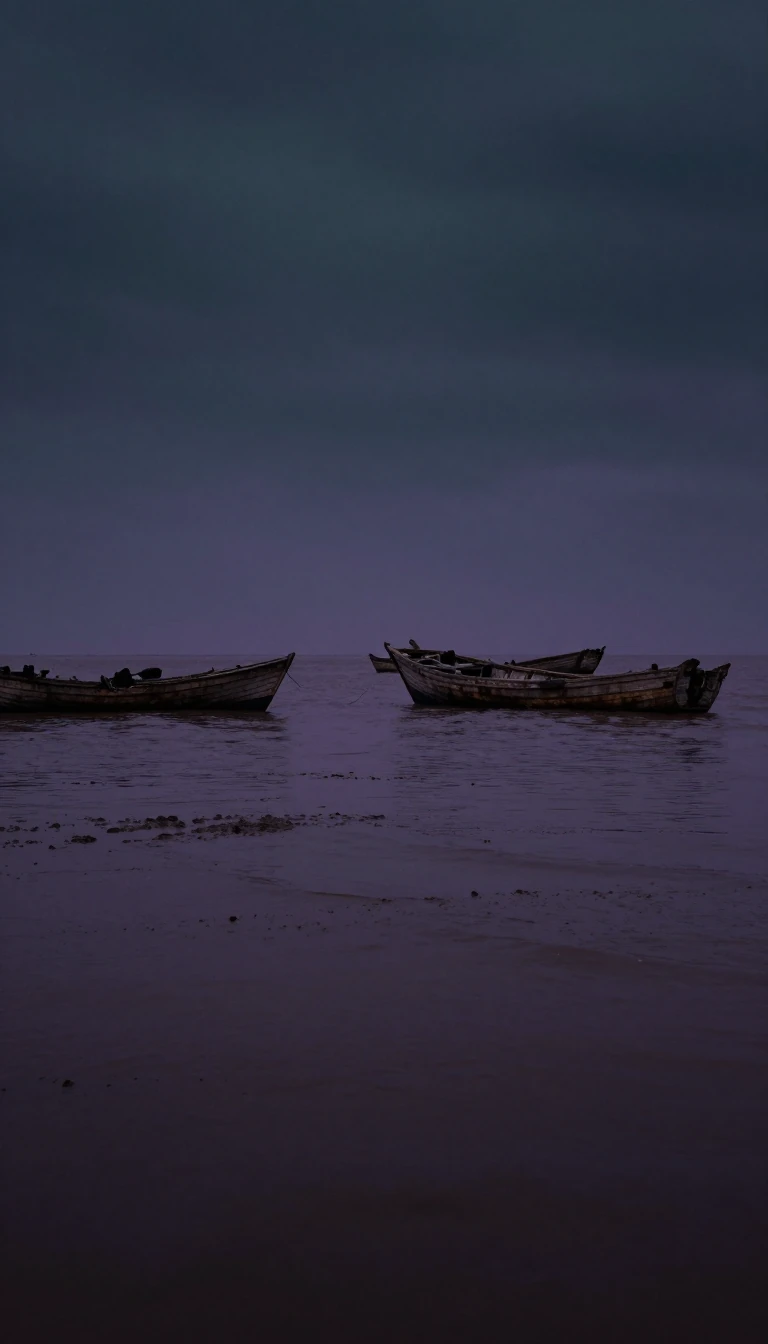
In short: The Nicobar Islands, a remote chain in the eastern Indian Ocean, have a history as turbulent as their tectonic origins. From failed Danish and Austrian colonial experiments to Japanese occupation during the Second World War, this strategic archipelago has long attracted outsiders, yet it remains a distinct, protected ecological treasure.
The Nicobar Islands are a geological product of the Indo-Australian Plate forcing its way beneath Eurasia. This massive tectonic interaction not only shaped the Himalayas but also birthed the island arc that includes the Nicobars. Unlike their northern neighbors, the Andaman Islands, the Nicobars likely never possessed a land bridge to the Southeast Asian mainland, even during ice ages when sea levels were significantly lower. This isolation has fostered a unique terrestrial ecoregion characterized by tropical rainforests and endemic species, now largely protected under the Great Nicobar Biosphere Reserve established by UNESCO in 2013.
Human history on the islands is equally complex. Indigenous groups, including the Nicobarese and the Shompen, have inhabited the region for millennia, speaking languages related to the Austroasiatic family. Early external records, such as the 3rd-century Pali chronicles, describe the islands as a land of the 'naked,' a theme echoed in the 11th-century Chola name 'Nakkavaram.' By the 18th century, the islands became a target for European powers. The Danish East India Company attempted colonization in 1754, but disease and logistical failures led to repeated abandonments. Even Austria attempted a brief, misguided colonial claim between 1778 and 1783.
The 20th century brought further upheaval. During the Second World War, Japan occupied the islands from 1942 until 1945. Following the war, the territory was integrated into India in 1950. The islands' vulnerability was starkly demonstrated on 26 December 2004, when a massive tsunami, triggered by an earthquake, devastated the region. The event was so powerful it physically altered the landscape, causing some islands to fracture and shifting the land by as much as 30 meters. Today, the Nicobars serve as a vital maritime boundary, housing the southernmost point of India at Indira Point, while continuing to guard their ancient, isolated heritage.
Opens the Intellect+ feed with this card first. Swipe up for the next one.
Sources
- Summary by Intellect · source: Nicobar Islands
- Also: Wikidata — Nicobar Islands · CC0
To cite this card, link to https://intellectplus.co.uk/app/places-nicobar-islands.
How we source, check and correct cards: Editorial standards.
General information, not professional advice. Spotted an error? Flag the card or see corrections and complaints.
Intellect Plus is a visual educational discovery platform for exploring fascinating facts and ideas. Brain Food, Not Brain Rot. What is Intellect Plus?
Related
More in Islands · More in Countries & Cities · Latest · A–Z · All topics
