Roraima: Brazil’s isolated northern frontier, where the Amazon meets the savannah
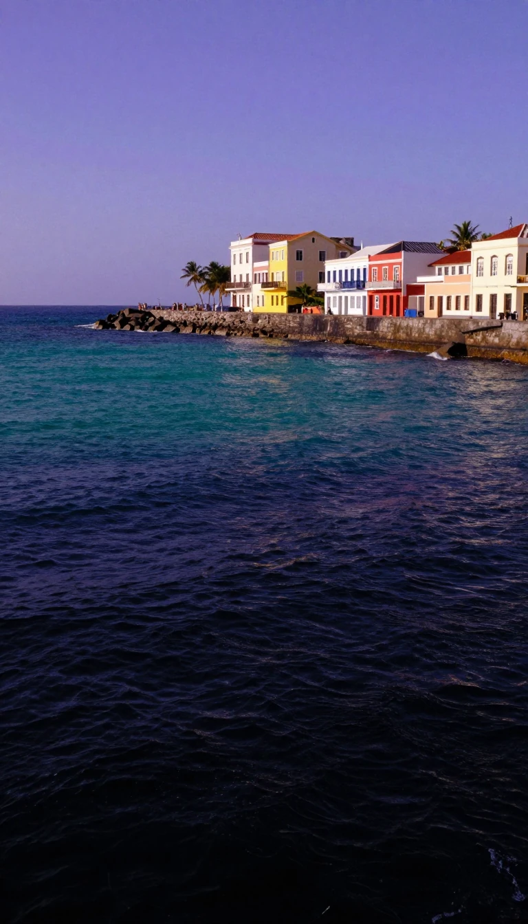
In short: As Brazil's least populous and most logistically isolated state, Roraima remains a land of extremes. Covering over 223,000 square kilometres, it holds the country's only capital in the Northern Hemisphere and serves as a critical gateway for refugees, while nearly half its territory is protected as indigenous land.
Roraima, a state in Brazil's North Region, is defined by its geographic isolation and complex history. Bordered by Venezuela, Guyana, and the Brazilian states of Amazonas and Pará, it covers approximately 223,644 square kilometres. Its capital, Boa Vista, holds the unique distinction of being the only Brazilian state capital situated entirely in the Northern Hemisphere. Despite its vast size, Roraima is the least populous state in the nation, with a population of roughly 631,181 as of 2020 and a density of just 2.01 inhabitants per square kilometre.
The region's history is deeply tied to the Branco River, which served as the primary artery for Portuguese settlers seeking to consolidate borders against Dutch, English, and Spanish interests. Sovereignty was solidified in the 18th century through the construction of the São Joaquim Fort in 1755. Today, the state's landscape is remarkably diverse, transitioning from dense Amazon rainforest in the southwest to the 'lavrado'—a vast 44,000 square kilometre savannah region—and the high-altitude peaks of the Guiana Shield. Mount Roraima, the state's highest point at 2,875 metres, exemplifies this rugged terrain.
Modern Roraima faces significant socio-economic challenges and demographic shifts. Since the 2010s, it has become a primary entry point for Venezuelan refugees, who now account for approximately one-sixth of the state's population. Economically, the state relies heavily on the tertiary sector, though it currently records the lowest GDP in Brazil. Environmental stewardship is a major priority; nearly 46% of the state is designated as indigenous territory, and over 8% is under the management of the Chico Mendes Institute for Biodiversity Conservation, making it one of the most protected regions in the country.
The state's name, derived from the Pemon language, reflects its natural character, with potential meanings including 'Green Peak' and 'Mother of the Winds'. This ecological richness supports a unique fauna, including the 'cavalos lavradeiros'—savannah horses that represent one of the world's last wild populations. As the state continues to navigate its role as a border territory, it remains a vital, if often overlooked, component of the Brazilian federation.
Opens the Intellect+ feed with this card first. Swipe up for the next one.
Sources
- Summary by Intellect · source: Roraima
- Also: Wikidata — Roraima · CC0
- Also: Wikidata — Roraima · CC0
To cite this card, link to https://intellectplus.co.uk/app/places-roraima.
How we source, check and correct cards: Editorial standards.
General information, not professional advice. Spotted an error? Flag the card or see corrections and complaints.
Intellect Plus is a visual educational discovery platform for exploring fascinating facts and ideas. Brain Food, Not Brain Rot. What is Intellect Plus?
Related
More in Regions and country subdivisions · More in Countries & Cities · Latest · A–Z · All topics
