Japan's narrowest peninsula is a mountainous bridge between two distinct seas
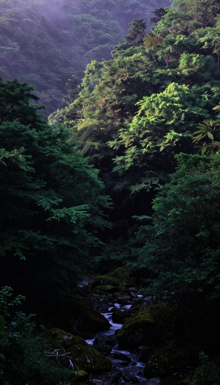
In short: Stretching 45 kilometres into the Hōyo Strait, the Sadamisaki Peninsula is a slender, rugged finger of land separating the Seto Inland Sea from the Uwa Sea. Once notoriously difficult to traverse, this westernmost tip of Shikoku now offers a scenic route defined by cherry blossoms, wind power, and maritime connections.
The Sadamisaki Peninsula, also known as the Misaki Peninsula, represents the westernmost extremity of Shikoku. Its geography is defined by its extreme narrowness relative to its length, making it the thinnest peninsula in Japan. The landmass extends in a straight line west-southwest from the vicinity of Yawatahama Port, following the path of the Japan Median Tectonic Line. This unique positioning creates a natural barrier between the Seto Inland Sea to the north and the Uwa Sea to the south, with the Hōyo Strait acting as the western gateway separating Shikoku from the island of Kyūshū.
Historically, the peninsula's mountainous terrain presented significant challenges for travel, rendering car transit highly inconvenient until the construction of national highway Route 197. Today, this road—often called the 'Melody Line'—is celebrated for the cherry blossom trees that line the mountains, drawing visitors during the spring bloom. Beyond its natural beauty, the area is home to the Ikata Nuclear Power Plant and the Seto Wind Hill Park, highlighting the region's role in energy production. As of June 30, 2023, the town of Ikata, which covers the peninsula, reported a population of 8,196 residents living across 4,396 households.
The peninsula serves as more than just a scenic destination; it is a vital maritime link. Ferries depart from Misaki Port at the peninsula's tip, connecting travelers to Saganoseki Port on the island of Kyūshū. The landscape is further protected by its status as part of the Seto Inland Sea National Park at Cape Sada, while the lower regions fall under the Uwa Sea National Park. This combination of steep, mountainous topography and immediate access to two different seas makes the peninsula a distinct geographical feature, balancing industrial infrastructure with protected natural environments and seasonal tourism.
Opens the Intellect+ feed with this card first. Swipe up for the next one.
Sources
- Summary by Intellect · source: Sadamisaki Peninsula
- Also: Wikidata — Sadamisaki Peninsula · CC0
To cite this card, link to https://intellectplus.co.uk/app/places-sadamisaki-peninsula.
How we source, check and correct cards: Editorial standards.
General information, not professional advice. Spotted an error? Flag the card or see corrections and complaints.
Intellect Plus is a visual educational discovery platform for exploring fascinating facts and ideas. Brain Food, Not Brain Rot. What is Intellect Plus?
Related
More in Peninsulas · More in Countries & Cities · Latest · A–Z · All topics
