The Sierra Madre de Chiapas: A Rugged Backbone Shaping Central American Life and Landscape
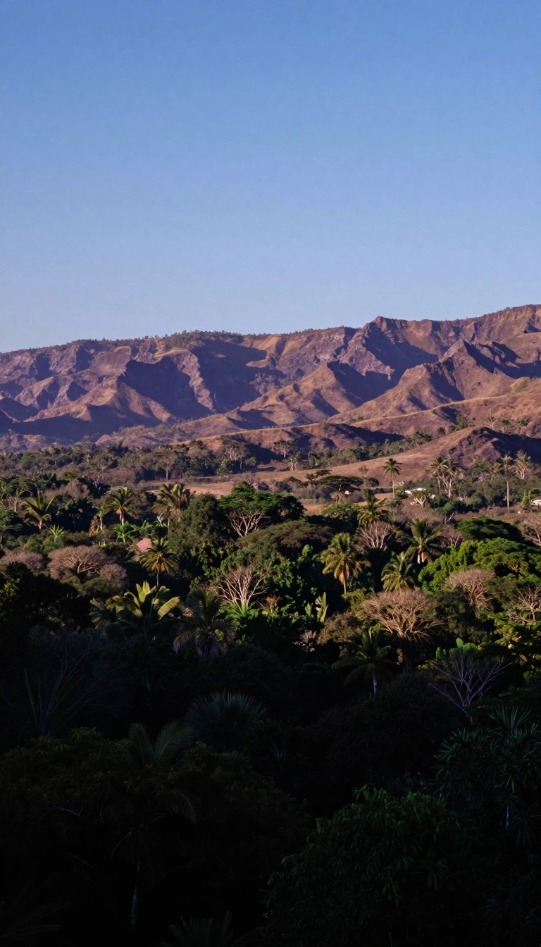
In short: Rising sharply from the Pacific coast, the Sierra Madre de Chiapas is a formidable mountain range spanning southeastern Mexico and western Guatemala. Beyond its striking peaks, which exceed 9,000 feet, this range serves as a critical geographic divider, influencing regional climates, indigenous settlement patterns, and the socio-economic history of Chiapas.
The Sierra Madre de Chiapas functions as a dominant geological feature, defining the relief of the Mexican state of Chiapas. It rises abruptly from the Pacific coastal lowlands, creating a dramatic transition in elevation. This range is not merely a physical barrier but a significant environmental influence; its slopes are heavily forested, and the region encompasses diverse ecosystems, including the vast Lacondón rainforest located in the eastern part of the state.
The human history of the region is deeply intertwined with its challenging terrain. Chiapas, which became a Mexican state in 1824 with boundaries finalized in 1882, has long been characterized by a rural, agrarian economy. Subsistence farming remains central to the lives of its inhabitants, many of whom belong to indigenous groups that speak Mayan dialects. Historically, the population faced significant hardship under a small landowning elite, a dynamic that persisted well into the 20th century despite the introduction of infrastructure like the Pan-American Highway.
Socio-economic tensions eventually reached a breaking point in 1994, when an armed uprising led by the Zapatista National Liberation Army emerged to protest persistent inequality. Today, the state remains a complex landscape where modern governance—led by a governor and a state congress—exists alongside deep-rooted traditions. The capital, Tuxtla Gutiérrez, serves as the primary hub for cultural and academic institutions, including the Autonomous University of Chiapas, reflecting the state's ongoing efforts to integrate its rich historical legacy with contemporary development.
Opens the Intellect+ feed with this card first. Swipe up for the next one.
Sources
- Summary by Intellect · source: Sierra Madre de Chiapas | Mexico, Guatemala, & Map | Britannica
- Also: Sierra Madre de Chiapas
To cite this card, link to https://intellectplus.co.uk/app/places-sierra-madre-de-chiapas.
How we source, check and correct cards: Editorial standards.
General information, not professional advice. Spotted an error? Flag the card or see corrections and complaints.
Intellect Plus is a visual educational discovery platform for exploring fascinating facts and ideas. Brain Food, Not Brain Rot. What is Intellect Plus?
Related
More in Land relief · More in Countries & Cities · Latest · A–Z · All topics
