Is the subantarctic a precise geographic zone or a shifting, contested scientific frontier?
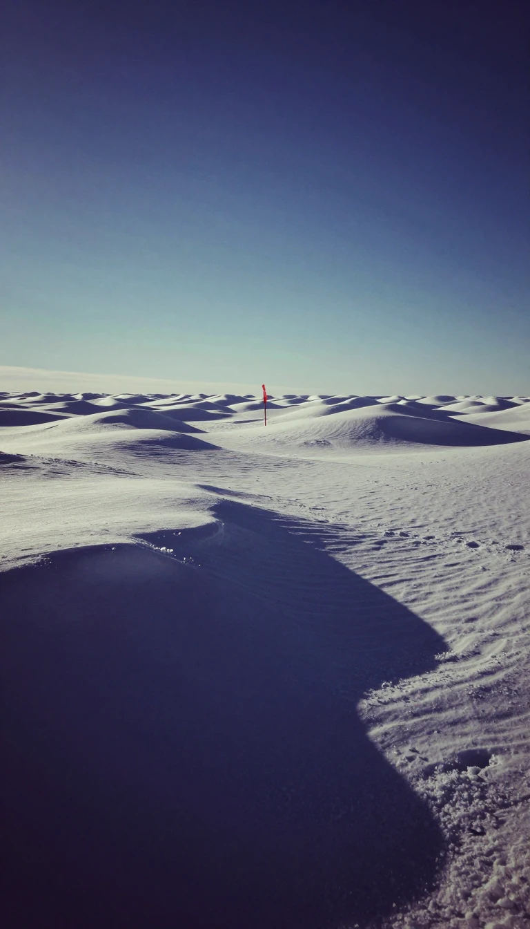
In short: The subantarctic region is a complex belt of islands and oceans sitting between the temperate world and the frozen Antarctic. While defined by the Antarctic Convergence, its boundaries are blurred by political treaties and climate change, making it a critical, rapidly evolving laboratory for understanding our planet's warming future.
The subantarctic region occupies a vital space in the Southern Hemisphere, generally spanning latitudes between 46° and 60° south. It is defined by two marine zones: the Subantarctic Zone and the Polar Frontal Zone. These areas are bounded to the north by the Subtropical Front and to the south by the Antarctic Convergence. This convergence is a biological and hydrological threshold where distinct water masses meet, creating a highly productive environment essential for species like Antarctic krill. However, the definition of this region is contested. While scientists often use the Antarctic Convergence to delineate the boundary, the Antarctic Treaty defines the Antarctic region politically as everything south of 60° south latitude, creating a discrepancy between ecological reality and legal jurisdiction.
Central to this region is the Antarctic Circumpolar Current, the world's most powerful ocean current. It links the Atlantic, Indian, and Pacific basins, transporting up to 150 Sverdrups of water—a volume 150 times greater than all the world's rivers combined. This current, alongside global thermohaline circulation, acts as a massive carbon sink. Water masses like Subantarctic Mode Water and Antarctic Intermediate Water absorb atmospheric carbon dioxide, storing it in solution. Models suggest that if atmospheric CO2 concentrations reach 860 ppm by 2100, the density and salinity of these waters could drop, potentially weakening the Southern Ocean's ability to regulate global climate.
The islands within this zone, such as Heard Island, serve as sensitive indicators of environmental change. Heard Island, located roughly 4000 kilometers southwest of Australia, is heavily glacierized and volcanic. Between 1947 and 1988, its total glacier area shrank by 11%. Recent expeditions have found that the rate of ice loss is accelerating, with glaciers like the Brown Glacier retreating significantly. This recession is not merely a local phenomenon; it is a visible response to a global temperature increase of +0.9 °C, transforming the landscape by creating new ice-free ecoregions and altering the habitats of diverse marine life, including penguins, seals, and various benthic species.
Opens the Intellect+ feed with this card first. Swipe up for the next one.
Sources
- Summary by Intellect · source: Subantarctic
- Also: Wikidata — Subantarctic · CC0
- Also: www.britannica.com — Subantarctic region | biogeography | Britannica
To cite this card, link to https://intellectplus.co.uk/app/places-subantarctic.
How we source, check and correct cards: Editorial standards.
General information, not professional advice. Spotted an error? Flag the card or see corrections and complaints.
Intellect Plus is a visual educational discovery platform for exploring fascinating facts and ideas. Brain Food, Not Brain Rot. What is Intellect Plus?
Related
More in Basics · More in Countries & Cities · Latest · A–Z · All topics
