The Ussuri River: A Soot-Black Boundary Between Russia and China
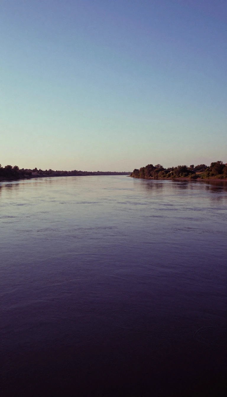
In short: Flowing north from the Sikhote-Alin mountains, the Ussuri River serves as a vital, often volatile, border between Russia and China. Known in Manchu as the soot-black river, this 897-kilometer waterway is defined by its dramatic seasonal shifts, catastrophic flooding, and a history marked by major twentieth-century geopolitical conflicts.
The Ussuri River originates in the Sikhote-Alin mountain range, winding through the Russian Krais of Khabarovsk and Primorsky before reaching the Chinese province of Heilongjiang. Spanning approximately 897 kilometers, the river acts as a natural frontier, a boundary established by the 1860 Sino-Russian Convention of Peking. Its basin, covering 193,000 square kilometers, is fed by a combination of rainfall, snowmelt, and subterranean springs. The river's character is defined by its extreme seasonal cycle; it remains frozen from November until April, after which it becomes prone to severe, catastrophic flooding that shapes the surrounding landscape.
Historically, the Ussuri has been a site of significant military and political tension. During the final stages of World War II in 1945, the river served as a crossing point for Soviet forces during Operation August Storm as they moved into Manchuria. Decades later, the river became the focal point of the 1969 Sino-Soviet border conflict, specifically around the contested Damansky Island. These events underscore the river's role not just as a geographical feature, but as a strategic corridor that has influenced the geopolitical trajectory of Northeast Asia for over a century.
Beyond its political history, the Ussuri supports a rich ecological environment. The river teems with diverse fish species, including grayling, sturgeon, and various types of salmon such as keta and gorbusha. The name itself, derived from Manchu, translates to soot-black river, though it has been known by various titles throughout history, including the Dobi Bira, or River of Foxes. Today, the river remains a critical hydrological artery, with an average discharge of 1,620 cubic meters per second, continuing to flow north until it eventually joins the Amur River near the city of Khabarovsk.
Opens the Intellect+ feed with this card first. Swipe up for the next one.
Sources
- Summary by Intellect · source: Ussuri
- Also: Wikidata — Ussuri · CC0
To cite this card, link to https://intellectplus.co.uk/app/places-ussuri.
How we source, check and correct cards: Editorial standards.
General information, not professional advice. Spotted an error? Flag the card or see corrections and complaints.
Intellect Plus is a visual educational discovery platform for exploring fascinating facts and ideas. Brain Food, Not Brain Rot. What is Intellect Plus?
Related
More in Bodies of water · More in Countries & Cities · Latest · A–Z · All topics
