The Yalu River is a natural border that has defined Asian history for centuries.
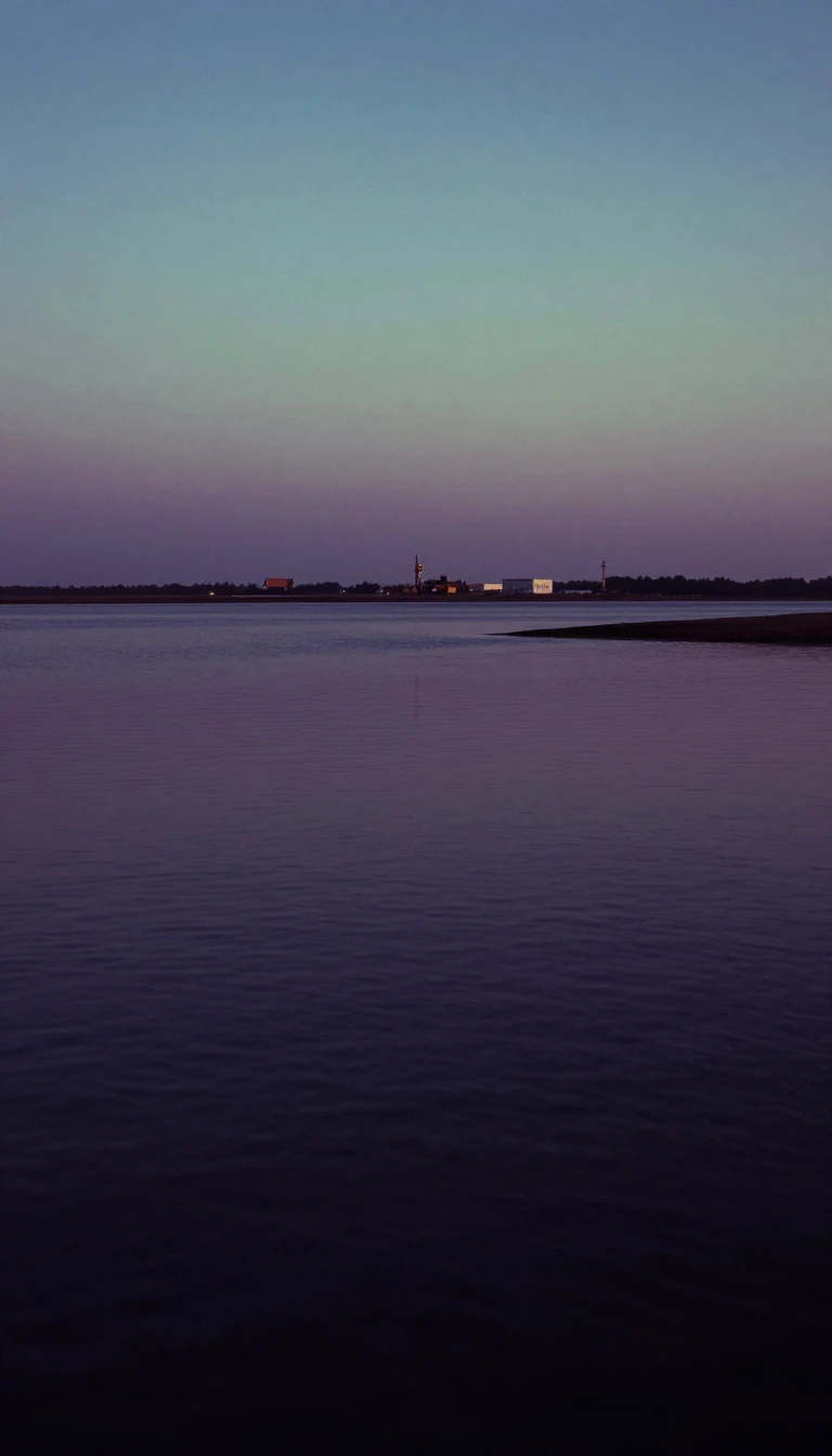
In short: Spanning 500 miles from the volcanic heights of Mount Baitou to the Yellow Sea, the Yalu River serves as a vital political and cultural divide. Beyond its role as a boundary between China and North Korea, this waterway has been a strategic theater for major conflicts and industrial development.
Originating at Tian Lake, a body of water atop the 9,000-foot-high Mount Baitou, the Yalu flows southwest to Korea Bay. Its name, which translates to 'duck-green' in Chinese, likely refers to the river's distinct color. While it serves as a modern international boundary, this political designation only solidified during the 14th century, near the conclusion of the Korean Koryo dynasty. The river basin remains a significant cultural threshold, separating the Manchu and Han Chinese populations on the northern bank from the Korean inhabitants to the south.
The river's geography is defined by rugged, gorgelike valleys and rapid currents in its upper reaches, transitioning into a silt-heavy delta near the sea. This sedimentation has significantly altered navigation; while 1,000-ton vessels could reach the port of Sinuiju in 1910, modern conditions limit access to 500-ton ships. The river is also a critical source of hydroelectric power, most notably via the massive Sup’ung Dam, which features a reservoir covering 133 square miles and supplies electricity to both North Korea and neighboring Chinese provinces.
Historically, the Yalu has been a focal point for military engagement, from the Sino-Japanese and Russo-Japanese wars to the intense air battles of the Korean War. During the latter conflict, the river became a symbolic and strategic barrier, with the Sino-Korean Friendship Bridge serving as the sole survivor among the many spans destroyed during the fighting. Today, the river remains a complex landscape, balancing its role as a vital resource for fishing and agriculture with its status as a heavily monitored international frontier.
Opens the Intellect+ feed with this card first. Swipe up for the next one.
Sources
- Summary by Intellect · source: Yalu River | Location, Map, China, North Korea, & Facts | Britannica
- Also: Yalu River
To cite this card, link to https://intellectplus.co.uk/app/places-yalu-river.
How we source, check and correct cards: Editorial standards.
General information, not professional advice. Spotted an error? Flag the card or see corrections and complaints.
Intellect Plus is a visual educational discovery platform for exploring fascinating facts and ideas. Brain Food, Not Brain Rot. What is Intellect Plus?
Related
More in Bodies of water · More in Countries & Cities · Latest · A–Z · All topics
