The Xiang River is a 500-mile artery of Chinese history, commerce, and myth
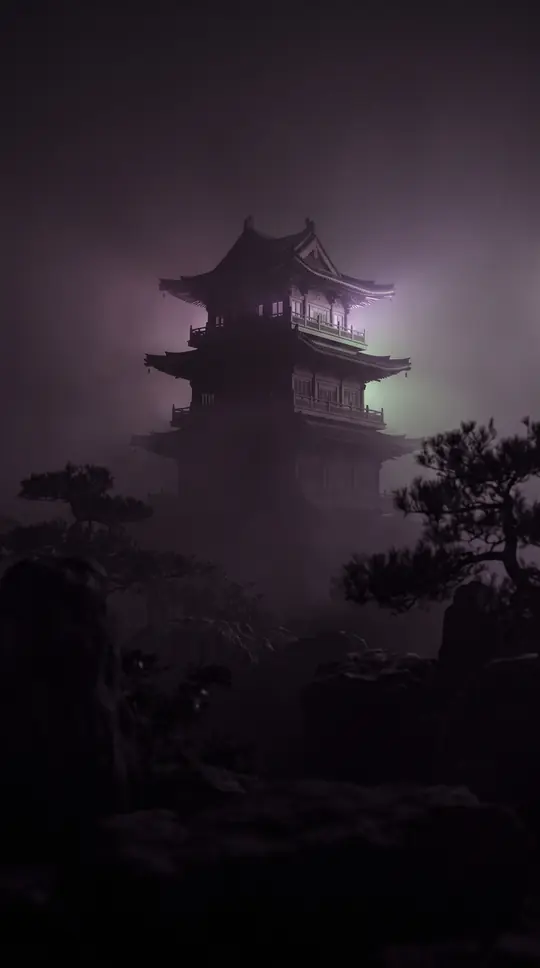
In short: Flowing through Hunan province, the Xiang River has served as a vital waterway for millennia. From the ancient state of Chu to the modern industrial hubs of today, this Yangtze tributary has shaped the development of southern China, while inspiring legends of weeping goddesses and poetic tributes to its scenery.
The Xiang River, stretching approximately 500 miles, rises in the mountains of Guangxi and flows northeast into the Yangtze River via Dongting Lake. Historically, the river was the heart of the Chu state during the 1st millennium bce. Its strategic importance was solidified under the Qin dynasty, which used the route for expeditions into Guangdong. By the Han period, the region around the river became a significant administrative center, eventually evolving into the city of Changsha, which has served as the capital of Hunan since 1664.
Beyond its political role, the river is deeply embedded in Chinese culture. Folk tradition attributes the river's protection to the Xiang Consorts, Ehuang and Nüying, daughters of the legendary ruler Yao. According to myth, their grief over the death of their husband, Shun, led them to drown themselves in the river. Their tears are said to have created the distinctive spots on the local 'teardrop bamboo.' This cultural legacy was immortalized by the poet Qu Yuan, who documented ritual songs in their honor during the Warring States period.
In the modern era, the Xiang has become an industrial powerhouse. In the 1970s, Changsha, Zhuzhou, and Xiangtan were designated as a major industrial complex, utilizing the river for transport and power. Today, the river supports a diverse economy, ranging from traditional handicrafts like xiang embroidery to heavy industries including machinery, aluminum, and chemical production. Despite the scars of the Sino-Japanese War, which saw the city of Changsha virtually destroyed by fire between 1938 and 1939, the river remains a central collection and distribution point for rice, cotton, and timber.
Recent geographical studies have refined our understanding of the river's origins. While the West Branch was traditionally considered the main stream, the 2011 national water census of China identified the East Branch, or Xiao River, as the true main stem because it is longer and contributes a greater volume of water. This ongoing re-evaluation reflects the river's enduring complexity, serving as both a subject of scientific inquiry and a persistent, flowing witness to the evolution of the Chinese landscape.
Opens the Intellect+ feed with this card first. Swipe up for the next one.
Sources
- Summary by Intellect · source: Xiang River | Yangtze tributary, Hunan, China | Britannica
- Also: Xiang River
To cite this card, link to https://intellectplus.co.uk/app/places-xiang-river.
How we source, check and correct cards: Editorial standards.
General information, not professional advice. Spotted an error? Flag the card or see corrections and complaints.
Intellect Plus is a visual educational discovery platform for exploring fascinating facts and ideas. Brain Food, Not Brain Rot. What is Intellect Plus?
Related
More in Bodies of water · More in Countries & Cities · Latest · A–Z · All topics
