The islands that walk: a 500-kilometer migration across the North Sea
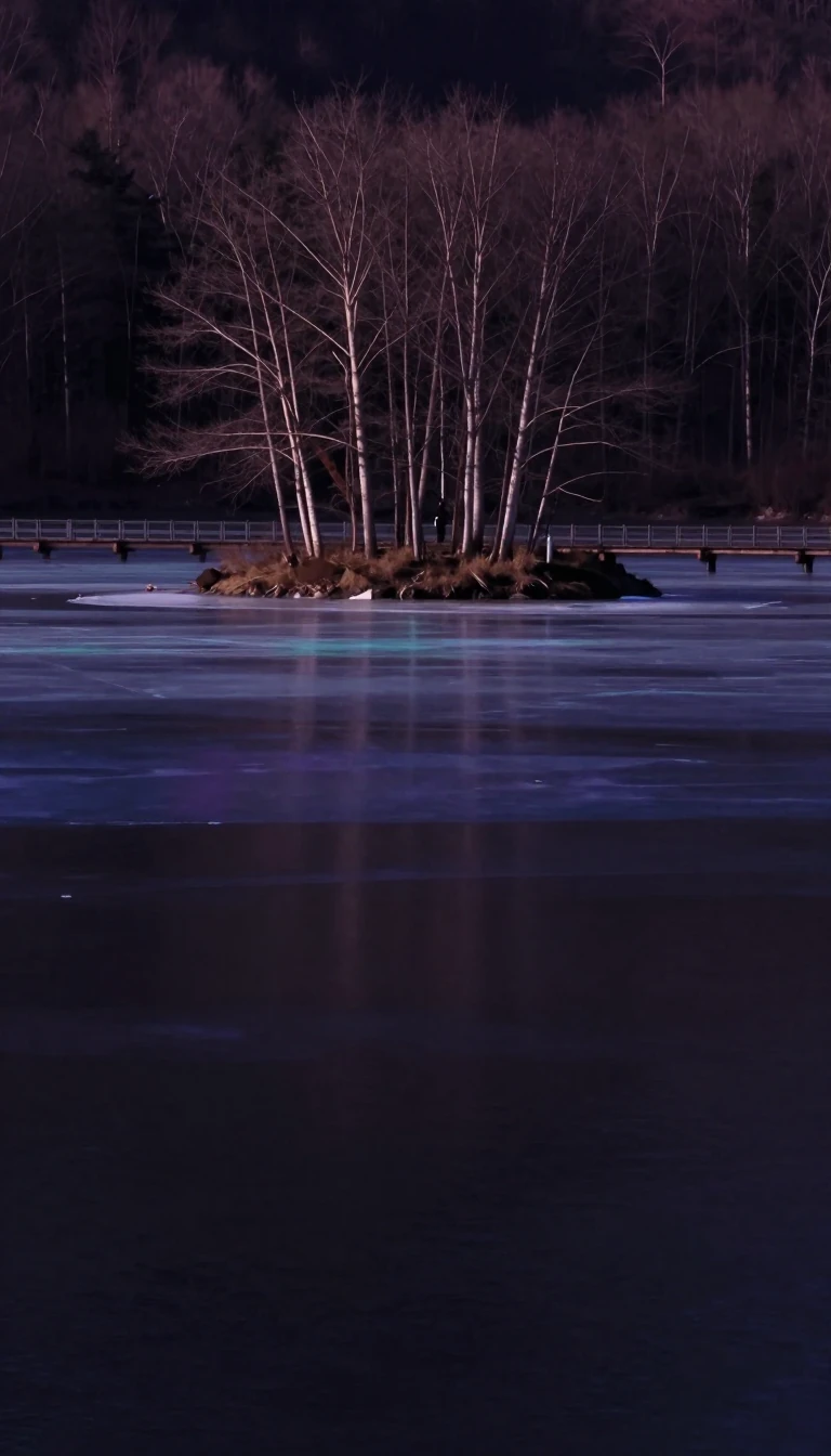
In short: The Frisian Islands are not static landmasses; they are in a state of perpetual motion. Driven by tidal action and sediment transport, these barrier islands are slowly migrating eastward, causing entire villages to vanish into the waves while new shoals emerge in their wake.
The geography of the Wadden Sea archipelago is a product of dramatic geological shifts. During the last ice age, which ended roughly 12,000 years ago, sea levels were approximately 60 metres lower than they are today. As the ice caps melted, the rising sea reached the current coastline about 7,000 years ago. Tidal forces then transported massive quantities of sand, forming a dune line stretching over 500 kilometres from the Netherlands to the Elbe river in Germany. The sea eventually breached these dunes, creating the current islands and the low-lying tidal mudflats behind them.
These islands are categorized by their origins. The Dutch West Frisian and German East Frisian islands are 'barrier islands' formed where water surges piled up sediment, which was then stabilized by colonizing plants. In contrast, the North Frisian Islands are remnants of older 'Geestland' islands, partially removed by storm floods and separated from the mainland. This distinction matters for their stability: the North Frisian islands are generally higher and less exposed to rapid change than their southern counterparts, though even they face erosion, such as the southern tip of Sylt.
Human history in this region is a narrative of adaptation to a 'miserable' environment. The Roman naturalist Pliny described the Frisians as people living on artificial mounds called 'terpen' to escape the tides, noting they lived without trees or shrubs and caught fish as the water receded. While dike construction began around 1000 AD—with some evidence of earlier attempts dating to the 1st or 2nd century BC—modern engineering has attempted to halt the natural migration of the islands. However, many of these efforts, such as a 19th-century causeway between Holwerd and Ameland, were eventually abandoned due to the relentless power of the sea.
Today, the islands remain in a state of 'migration.' Most islands are slowly moving from West to East; as the western sides disappear into the sea, larger sandbanks arise to the east. This geological reality is why most villages are situated on the western side of their respective islands—the side that was the 'center' when they were originally founded centuries ago.
Opens the Intellect+ feed with this card first. Swipe up for the next one.
Sources
- Summary by Intellect · source: Frisian Islands
To cite this card, link to https://intellectplus.co.uk/app/science-frisian-islands.
How we source, check and correct cards: Editorial standards.
General information, not professional advice. Spotted an error? Flag the card or see corrections and complaints.
Intellect Plus is a visual educational discovery platform for exploring fascinating facts and ideas. Brain Food, Not Brain Rot. What is Intellect Plus?
Related
More in Social scientists · More in Science · Latest · A–Z · All topics
