Beyond mountains and valleys: the ancient art of writing about place
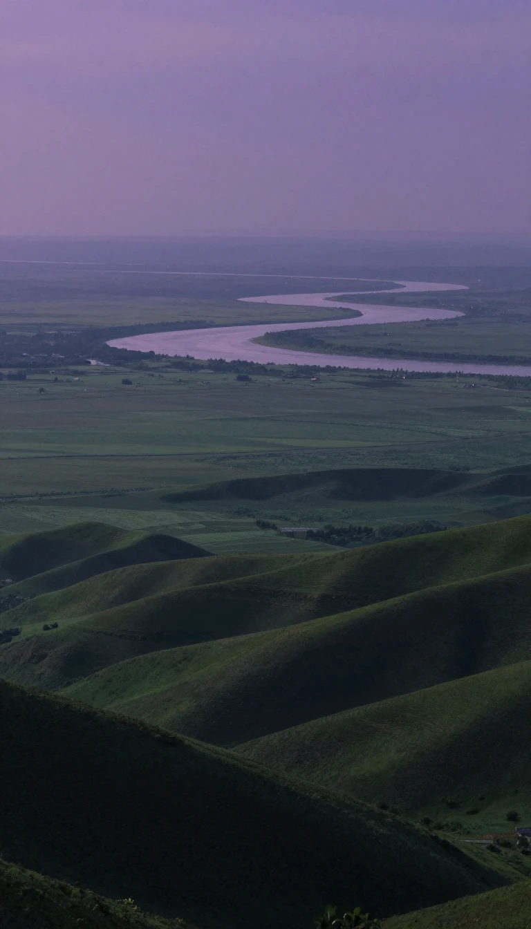
In short: While we often think of topography as mere elevation, its origins lie in the literal act of writing about a place. From ancient Greek descriptions to modern satellite radar, the study of Earth's surfaces has evolved from local history into a high-tech tool for predicting planetary change.
The term topography finds its roots in ancient Greece, derived from 'topos' (place) and 'graphia' (writing). In classical literature, this did not refer to maps, but to the detailed description of a location, a practice closely related to what we now call local history. This tradition of documenting the essence of a place persisted through ancient Rome and remains a common usage in parts of Europe and Britain today.
In the modern era, the field has expanded into a sophisticated branch of geoscience and planetary science. While it can refer to the physical landforms themselves, it also encompasses the depiction of features like roads, buildings, and land boundaries. In a narrow scientific sense, this is known as geomorphometry—the study of the three-dimensional quality of a surface. Today, this often involves generating Digital Elevation Models (DEMs) that use complex data like Sentinel-1 interferograms and ICESat-2 ice height measurements to map even the most remote corners of our planet.
The utility of these measurements extends far beyond simple geography. For volcanologists, tracking the swelling uplift of an active volcano can provide vital warnings of an impending eruption. NASA's Earth-observing instruments, such as the radar payloads flown on the Space Shuttle Endeavor during the Shuttle Radar Topography Mission in February 2000, allow researchers to compare datasets and observe how landscapes change over time. These insights are critical for managing natural disasters like floods, landslides, and fires, as well as for monitoring the long-term impacts of climate change, such as coastline erosion and shifting ecosystems.
Opens the Intellect+ feed with this card first. Swipe up for the next one.
Sources
- Summary by Intellect · source: Topography | NASA Earthdata
- Also: Topography
To cite this card, link to https://intellectplus.co.uk/app/places-topography.
How we source, check and correct cards: Editorial standards.
General information, not professional advice. Spotted an error? Flag the card or see corrections and complaints.
Intellect Plus is a visual educational discovery platform for exploring fascinating facts and ideas. Brain Food, Not Brain Rot. What is Intellect Plus?
Related
More in Technical geography · More in Countries & Cities · Latest · A–Z · All topics
