Colorado is the only U.S. state that sits entirely above 1,000 meters in elevation.
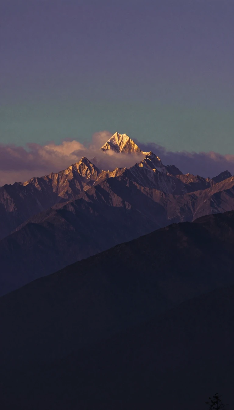
In short: While many associate the Centennial State with its iconic mountain peaks, half of its land is actually rolling plains. This diverse geography, defined by straight lines on a map rather than natural borders, creates a unique environment where high-altitude deserts and alpine tundra coexist within the same state boundaries.
Admitted as the 38th state on August 1, 1876, Colorado is a land of extremes. It is the only state in the U.S. where every point of land lies at an elevation higher than 1,000 meters. The state's lowest point, where the Arikaree River exits into Kansas, sits at 3,317 feet—a height that exceeds the highest peaks of 18 other states and the District of Columbia. Conversely, the state contains 58 named peaks reaching at least 14,000 feet, with Mount Elbert standing as the highest point in the entire Rocky Mountain range.
The state's borders are a historical curiosity. Unlike most states that use rivers or mountain ranges to define their edges, Colorado's boundaries were established by the U.S. Congress in 1861 using only lines of latitude and longitude. This resulted in a perfect rectangle defined by 697 straight boundary markers. This geometric precision is shared only by Wyoming and Utah, making Colorado a rare example of a state defined entirely by human-made lines rather than the natural landscape it contains.
Human history in the region is equally layered. Paleo-Indian ancestors inhabited the area for at least 13,500 years, leaving behind sites like the Lindenmeier location, which dates to roughly 8720 BCE. In the modern era, the state's development was shaped by the 1858–1862 Pike's Peak Gold Rush and the subsequent 1878 silver boom near Leadville. Today, about 84% of the population is concentrated in the Front Range Urban Corridor, a narrow strip east of the Rockies that serves as the state's economic and political heart, contrasting sharply with the sparsely populated Western Slope.
Despite its rugged reputation, Colorado faces significant environmental challenges. Increasing temperatures and water scarcity threaten the state's agricultural, forestry, and tourism sectors. The state's rivers, such as the Colorado and the Rio Grande, are critical water sources for six states and Mexico, yet the eastern plains remain largely dependent on irrigation and subterranean water reserves that have seen significant decline due to heavy usage.
Opens the Intellect+ feed with this card first. Swipe up for the next one.
Sources
- Summary by Intellect · source: Colorado
- Also: Colorado | Flag, Facts, History, Maps, & Points of Interest | Britannica
To cite this card, link to https://intellectplus.co.uk/app/culture-colorado.
How we source, check and correct cards: Editorial standards.
General information, not professional advice. Spotted an error? Flag the card or see corrections and complaints.
Intellect Plus is a visual educational discovery platform for exploring fascinating facts and ideas. Brain Food, Not Brain Rot. What is Intellect Plus?
Related
More in US culture · More in Cultures · Latest · A–Z · All topics
