Colorado's landscape is a living archive of Native American, Spanish, and frontier American history.
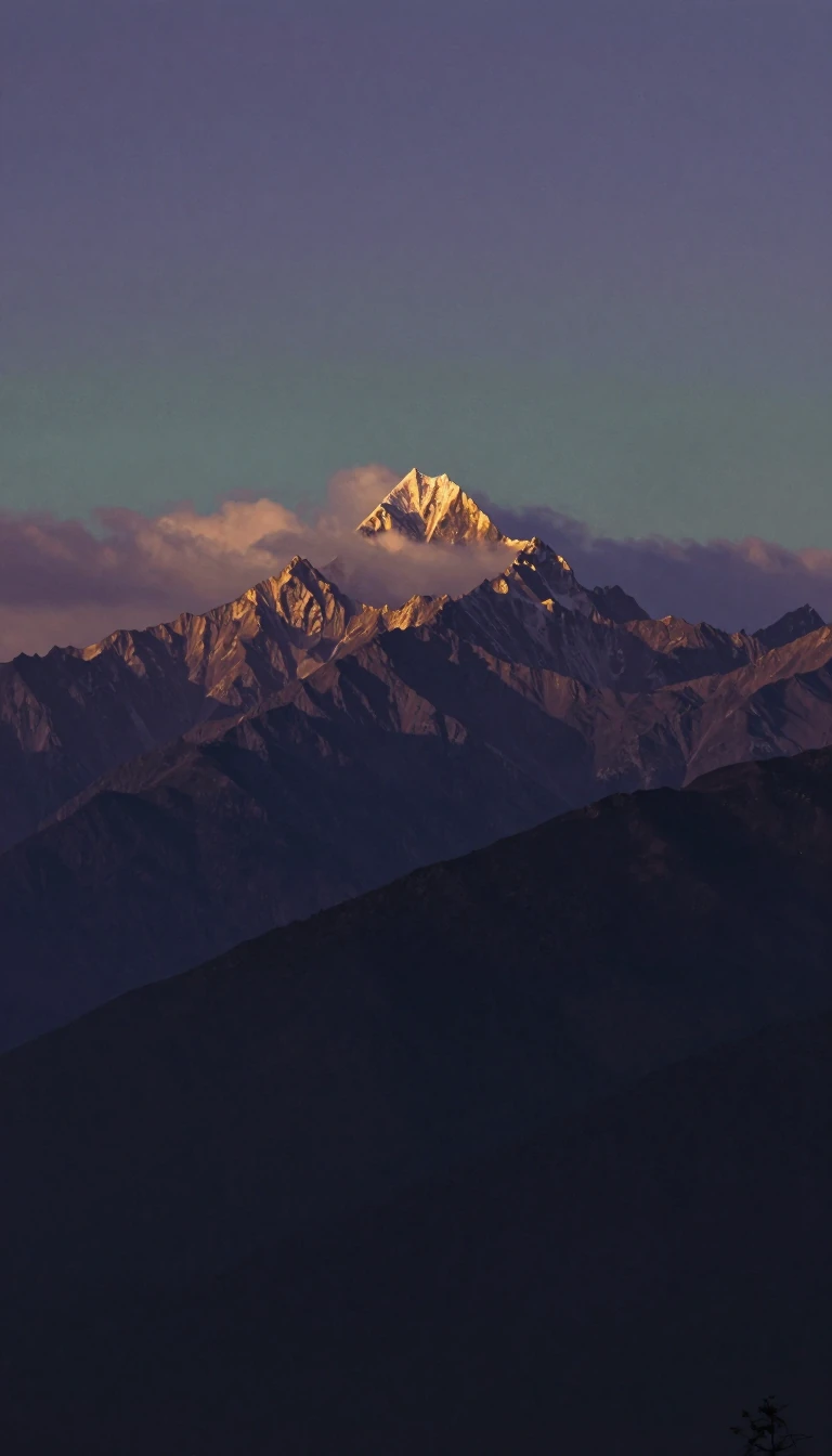
In short: The Centennial State is defined by more than just its iconic Rocky Mountains. From ancient cliff dwellings to the remnants of mid-19th-century gold rush boomtowns, Colorado's geography serves as a physical record of the diverse cultures and economic dreams that shaped the American West long before its 1876 statehood.
Colorado’s identity is etched into its very topography and nomenclature. While the state is famously associated with the southern Rocky Mountains, only about half of its landmass is mountainous. The eastern portion consists of the High Plains—a dry, flat region underlain by layered rocks—while the central Colorado Piedmont acts as a hilly transition zone. This piedmont is the state’s demographic heart, housing four-fifths of the population and its major urban centers, which have flourished thanks to extensive irrigation projects developed since 1880.
The human history of the region is equally layered. Long before it was admitted to the Union on August 1, 1876, the area was a crossroads for indigenous nations and, later, European explorers. The state's name and the names of its geographical features reflect a blend of Native American, French, and Spanish influences. These cultural imprints are preserved in sites like Mesa Verde National Park, a UNESCO World Heritage site that protects the remnants of ancestral cliff-dwelling settlements, and the Garden of the Gods, a striking geological formation near Colorado Springs.
The 19th century brought a massive influx of prospectors and homesteaders driven by the promise of gold, silver, and grain. This era of rapid expansion left behind numerous ghost towns, serving as silent witnesses to the volatile nature of the frontier economy. Today, Colorado balances this legacy with a modern, diversified economy, supported by research facilities and agricultural acreage that remains a vital resource for cattle grazing. The state continues to serve as a critical watershed, with the Continental Divide directing water flow that sustains six states and Mexico.
Opens the Intellect+ feed with this card first. Swipe up for the next one.
Sources
- Summary by Intellect · source: Colorado | Flag, Facts, History, Maps, & Points of Interest | Britannica
- Also: History of Colorado
To cite this card, link to https://intellectplus.co.uk/app/history-history-of-colorado.
How we source, check and correct cards: Editorial standards.
General information, not professional advice. Spotted an error? Flag the card or see corrections and complaints.
Intellect Plus is a visual educational discovery platform for exploring fascinating facts and ideas. Brain Food, Not Brain Rot. What is Intellect Plus?
Related
More in History by country, small region and city · More in History · Latest · A–Z · All topics
