The 2,655-mile odyssey of a highway that outlived its own name
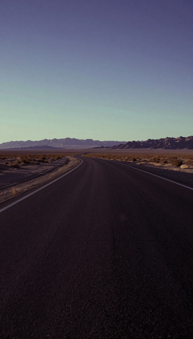
In short: U.S. Route 60 is a sprawling east–west artery stretching from Arizona to the Atlantic. While it once reached the Pacific coast, its identity has been carved up by the Interstate system, leaving behind a complex tapestry of concurrencies, mountain passes, and historical remnants.
Originally designated as Route 16 before the U.S. Highway system was established, Route 60 was once a true transcontinental titan. It originally extended all the way to Los Angeles, California. However, the rise of the Interstate Highway System led to significant truncations. By 1964, the western end was cut back to southwest of Brenda, Arizona, as Interstate 10 took over the stretch from Beaumont, California, to Arizona, and State Route 60 assumed the path from Los Angeles to Beaumont.
The highway's geography is a study in diverse American landscapes. It traverses the rugged Datil Mountains in New Mexico, bisects the Very Large Array complex in Socorro County, and parallels the Southern Transcon railroad for over 300 miles between Abo Pass and Amarillo. In the Midwest, it transitions from a two-lane journey through Oklahoma to a four-lane divided facility in Missouri, where it serves as a primary corridor between Springfield and Charleston.
The route is defined by its intricate 'concurrencies'—segments where it shares pavement with other major highways. It joins I-25 in New Mexico, US-84 in Fort Sumner, and US-62 in Illinois and Kentucky. One of its most peculiar geographical quirks occurs near Versailles, Kentucky, where it joins US-62 in a 'strange concurrency' where the two routes travel in opposite directions simultaneously before splitting again. From its Atlantic terminus in Virginia Beach to its desert origins, Route 60 remains a living map of American transit evolution.
Beyond its engineering, the road carries historical weight. It serves as a primary artery for regional commerce and a site of notable events, such as the 2010 completion of a 59-mile upgrade between Willow Springs and Van Buren. It remains a vital link, connecting the rural heartlands to the coastal resorts of the east.
Opens the Intellect+ feed with this card first. Swipe up for the next one.
Sources
- Summary by Intellect · source: U.S. Route 60
To cite this card, link to https://intellectplus.co.uk/app/health-u-s-route-60.
How we source, check and correct cards: Editorial standards.
General information, not professional advice. Spotted an error? Flag the card or see corrections and complaints.
Intellect Plus is a visual educational discovery platform for exploring fascinating facts and ideas. Brain Food, Not Brain Rot. What is Intellect Plus?
