Why Arizona's major east-west highway functions more like a north-south route
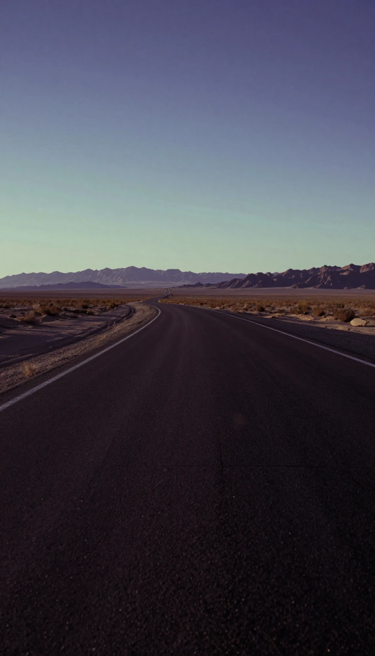
In short: Interstate 10 in Arizona is a vital artery, yet its path through the state is dictated by history rather than geography. By following 19th-century stagecoach trails and 1920s railroad alignments, the highway avoids mountain ranges and water shortages, ultimately creating a route that defies its east-west designation.
The alignment of I-10 across Arizona is a legacy of the state's rugged topography and early transportation history. When the Arizona Highway Department laid out the route between 1956 and 1958, engineers prioritized paths that bypassed the north-south Basin and Range mountains. East of Eloy, the interstate follows the historic Butterfield Stage and Pony Express routes, which were forced to navigate from waterhole to waterhole while avoiding hostile Apache territory. This historical necessity explains why the stretch between Phoenix and Tucson functions more as a north-south connector than an east-west one.
The highway's development was marked by intense local battles and engineering challenges. In the 1950s, the state fought to create a direct route west from Phoenix, rejecting a longer detour through Wickenburg that had been logical when highways were built parallel to Santa Fe railway tracks. The final gap in the entire interstate system between Santa Monica and Jacksonville was the controversial Papago Freeway in central Phoenix. Completed on August 10, 1990, the project was delayed for decades by public opposition to massive, elevated 'helicoil' interchanges that would have scarred the city skyline.
Modern infrastructure continues to evolve to meet the demands of rapid population growth. The Broadway Curve in Tempe, which carried 294,000 vehicles daily as of 2006, is projected to reach 450,000 by 2025. To manage this, the state is investing heavily in expansion, including a $1 billion project to widen the segment from Chandler to Casa Grande, expected to finish in 2026. Meanwhile, in Tucson, a $1.2 billion, 18-phase project aims to widen I-10 and reconfigure interchanges, reflecting the ongoing struggle to adapt 20th-century alignments to 21st-century traffic volumes.
Opens the Intellect+ feed with this card first. Swipe up for the next one.
Sources
- Summary by Intellect · source: Interstate 10 in Arizona
To cite this card, link to https://intellectplus.co.uk/app/science-interstate-10-in-arizona.
How we source, check and correct cards: Editorial standards.
General information, not professional advice. Spotted an error? Flag the card or see corrections and complaints.
Intellect Plus is a visual educational discovery platform for exploring fascinating facts and ideas. Brain Food, Not Brain Rot. What is Intellect Plus?
Related
More in Mathematicians · More in Science · Latest · A–Z · All topics
