Why these mid-level clouds are the most diverse and deceptive in our sky
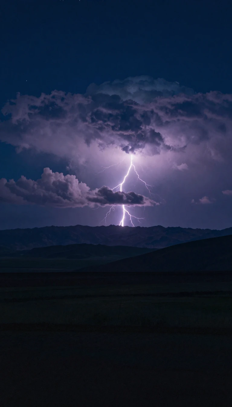
In short: Altocumulus clouds are mid-level chameleons, appearing as everything from lens-shaped UFOs to castle turrets. While they often signal settled weather, certain varieties serve as high-altitude warnings of incoming thunderstorms. Because they exist at extreme heights, their true scale is often hidden from our view on the ground.
Found between 7,000 and 18,000 feet, altocumulus clouds are defined by their composition of water droplets and ice crystals. Unlike the lower, fluffier cumulus clouds, these mid-level formations appear more ethereal and are categorized by their diverse species. They form through various mechanisms, including the breakup of altostratus layers, the lifting of moist air pockets via turbulence, or atmospheric waves generated by mountainous terrain.
The diversity of altocumulus is striking. The most common form, altocumulus stratiformis, appears as tightly packed, flat-bottomed clumps. In contrast, the spectacular altocumulus lenticularis forms over hilly areas, creating lens-shaped structures often mistaken for UFOs. More ominous is the altocumulus castellanus, which features turret-like towers. These towers indicate instability in the middle layers of the troposphere, often serving as a precursor to cumulonimbus thunderstorms. Unlike surface-triggered cumulus clouds, castellanus instability begins at high altitudes, meaning the lightning they produce often jumps between clouds rather than striking the ground.
While altocumulus clouds rarely produce rain that reaches the surface, they frequently exhibit virga—streaks of precipitation that evaporate before hitting the ground, giving the clouds a jellyfish-like appearance. They can also feature fallstreak holes, where a section of the cloud layer appears to be punched out. Because they are so high up, their individual elements look small to observers, but they are actually massive structures. Whether they appear as simple patches or complex, towering formations, they remain one of the most varied and visually dynamic cloud types in the atmosphere.
Opens the Intellect+ feed with this card first. Swipe up for the next one.
Sources
- Summary by Intellect · source: Mid-level clouds
- Also: Altocumulus cloud
To cite this card, link to https://intellectplus.co.uk/app/nature-altocumulus-cloud.
How we source, check and correct cards: Editorial standards.
General information, not professional advice. Spotted an error? Flag the card or see corrections and complaints.
Intellect Plus is a visual educational discovery platform for exploring fascinating facts and ideas. Brain Food, Not Brain Rot. What is Intellect Plus?
Related
More in Air · More in Nature · Latest · A–Z · All topics
