The towering cumulus cloud is an atmospheric sign of deep, moist, and unstable convection.
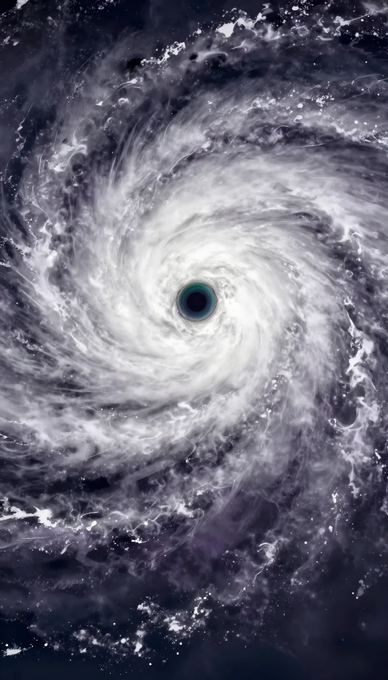
In short: Known as towering cumulus, the cumulus congestus is a dramatic intermediate stage between smaller clouds and the massive cumulonimbus. These vertical giants are defined by sharp outlines and intense updrafts, often serving as a precursor to heavy rain, severe turbulence, and even the formation of landspouts or waterspouts.
Cumulus congestus clouds represent a significant phase in atmospheric development, occurring when cumulus mediocris or certain castellanus forms undergo deep, moist convection. These clouds are distinguished by their impressive vertical growth, often reaching heights of 6 kilometers or 20,000 feet, and occasionally even higher in tropical regions. Because they are primarily composed of strong updrafts, they typically appear taller than they are wide, creating a distinct, towering silhouette in the sky.
The presence of these clouds is a reliable indicator of an unstable atmosphere. While they are capable of producing moderate to heavy showers, their significance extends to aviation safety, as they are known to generate severe turbulence. Under conditions of sufficient instability, a congestus cloud may transition into a cumulonimbus calvus, a process marked by the upper portion of the cloud taking on smooth, fibrous, or striated characteristics. This transformation often signals the potential for heavy precipitation and, in some cases, the presence of thunderstorms within an approaching weather front.
Beyond their role in standard weather patterns, congestus clouds are linked to specialized phenomena. They can form as pyrocumulus clouds during volcanic eruptions or large-scale wildfires. Furthermore, they are frequently associated with non-mesocyclone tornadoes, such as landspouts and waterspouts, which form when surface rotation is stretched by the cloud's updraft. Meteorologists may also observe 'turkey towers'—narrow, rapidly developing clouds that suddenly collapse—as a sign that a capping inversion is weakening, marking the region as an 'agitated area' prone to further convective activity.
Opens the Intellect+ feed with this card first. Swipe up for the next one.
Sources
- Summary by Intellect · source: Cumulus congestus cloud
To cite this card, link to https://intellectplus.co.uk/app/nature-cumulus-congestus-cloud.
How we source, check and correct cards: Editorial standards.
General information, not professional advice. Spotted an error? Flag the card or see corrections and complaints.
Intellect Plus is a visual educational discovery platform for exploring fascinating facts and ideas. Brain Food, Not Brain Rot. What is Intellect Plus?
Related
More in Air · More in Nature · Latest · A–Z · All topics
