Great Britain is a geological jigsaw puzzle formed by billions of years of collisions.
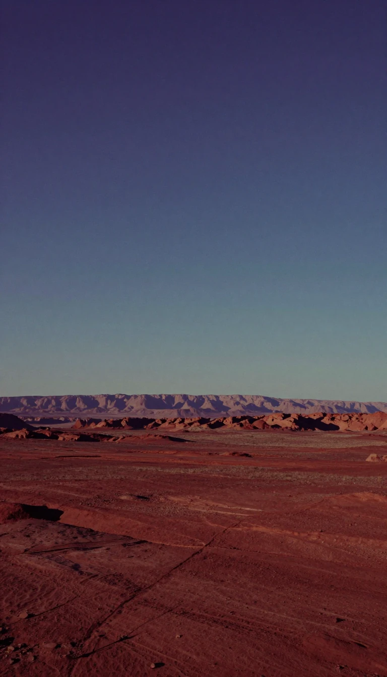
In short: Great Britain is not a static landmass but a dynamic collection of terrains that drifted across the globe. From ancient volcanic islands to tropical swamps and massive ice sheets, its diverse landscape is the result of continental collisions, tectonic shifts, and extreme climate changes occurring over billions of years.
The geological story of Great Britain begins in the Archaean eon, with the Lewisian gneiss in northwest Scotland dating back at least 2.7 billion years. This ancient foundation is only a fraction of the Earth's 4.6-billion-year history. Over eons, the landmass underwent dramatic transformations, including the Caledonian and Variscan orogenies, which acted as massive mountain-building events. These processes were driven by plate tectonics, causing the country to drift from near the Antarctic Circle to the equator and beyond.
During the Carboniferous period, around 360 million years ago, the region lay at the equator, covered by warm, shallow seas that deposited the limestone now forming iconic landscapes like the Peak District. Later, river deltas and rainforests created the coal reserves that would eventually fuel the Industrial Revolution. By the Permian and Triassic periods, the land had shifted into the interior of the super-continent Pangaea, experiencing arid desert conditions and intense erosion that shaped much of the underlying bedrock.
The more recent geological past is defined by the Pleistocene ice ages, which significantly altered the terrain. The Anglian Glaciation, occurring between 478,000 and 424,000 years ago, featured ice up to 1,000 metres thick, forcing the River Thames into its current path. These glacial cycles also influenced human history; during the warmer Hoxnian Stage, early humans inhabited the region, leaving behind stone tools and fossils such as the 400,000-year-old Swanscombe Man. The landscape continues to evolve today, shaped by both natural erosion and human activity, with 11% of England covered by roads or buildings by the year 2000.
Understanding this history requires distinguishing between 'solid' bedrock and 'superficial' drift deposits. While bedrock provides the structural framework, superficial materials like glacial clay and river gravel—often more critical for modern construction and drainage—reflect the most recent chapters of this complex geological narrative. The islands no longer sit on active tectonic boundaries, but the legacy of their violent, volcanic past remains visible in landmarks from the Giant's Causeway to the mountains of Snowdonia.
Opens the Intellect+ feed with this card first. Swipe up for the next one.
Sources
- Summary by Intellect · source: Geology of Great Britain
- Also: geologyviewer.bgs.ac.uk — BGS Geology Viewer - The Geological Map Viewer of Britain
To cite this card, link to https://intellectplus.co.uk/app/nature-geology-of-great-britain.
How we source, check and correct cards: Editorial standards.
General information, not professional advice. Spotted an error? Flag the card or see corrections and complaints.
Intellect Plus is a visual educational discovery platform for exploring fascinating facts and ideas. Brain Food, Not Brain Rot. What is Intellect Plus?
Related
More in UK & Ireland: nature · More in Nature · Latest · A–Z · All topics
