A vanished prehistoric lake still dictates the layout of modern Canadian farmland today.
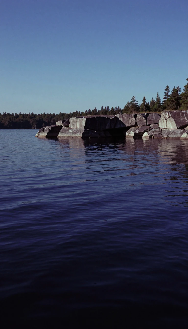
In short: Fifteen thousand years ago, a massive glacial lake covered an area larger than all the Great Lakes combined. When it finally drained, it left behind a thick, nutrient-rich bed of silt and clay. Today, this ancient lakebed supports some of the most productive agricultural landscapes in North America.
Lake Agassiz formed during the Pleistocene Epoch as the retreating Laurentide Ice Sheet dammed rivers that would otherwise have flowed into Hudson Bay. At its peak, this immense body of water spanned 1,100 kilometers in length and 300 kilometers in width, covering parts of modern-day Manitoba, Ontario, Saskatchewan, North Dakota, and Minnesota. The lake was a dynamic feature of the landscape, shifting its drainage outlets between the Mississippi River system, Lake Superior, and eventually the Arctic Ocean as the ice sheet fluctuated.
The legacy of this prehistoric giant is etched into the geography of the region. As the waters receded, they deposited deep layers of fine silt and clay, creating exceptionally fertile soil that remains the backbone of local agriculture. Crops like wheat, barley, oats, and canola thrive in these former lakebeds. The human imprint is equally systematic; following the 1869 purchase of Rupert’s Land, the Dominion Land Survey divided this flat terrain into a rigorous grid of one-square-mile sections. This grid continues to define the placement of roads, shelterbelts, and farm fields.
Beyond its agricultural utility, Lake Agassiz is a subject of intense scientific interest regarding its role in global climate history. Researchers suggest that the lake’s massive, sudden drainage events—particularly the final release into the Arctic Ocean around 8,200 years ago—may have disrupted oceanic circulation. Some scientists hypothesize that these freshwater pulses triggered significant cooling periods, such as the Younger Dryas stadial or the 8,200-year climate event. While these links remain contested, the lake’s influence on both the physical landscape and the historical climate of the planet is undeniable. Today, the remnants of this once-mighty sea exist only as smaller bodies of water, including Lake Winnipeg, Lake Manitoba, and Lake of the Woods.
The lake was named in 1879 by Warren Upham to honor Louis Agassiz, a pioneering naturalist and geologist who studied glacial movement. Today, the flat, nutrient-rich plains of the Red River Valley serve as a living monument to the lake's existence, where modern farmers continue to cultivate the very floor of a vanished prehistoric world.
Opens the Intellect+ feed with this card first. Swipe up for the next one.
Sources
- Summary by Intellect · source: Farming in Ancient Lake Agassiz - NASA Science
- Also: Lake Agassiz
- Also: Lake Agassiz | Map, Manitoba, & Facts | Britannica
To cite this card, link to https://intellectplus.co.uk/app/nature-lake-agassiz.
How we source, check and correct cards: Editorial standards.
General information, not professional advice. Spotted an error? Flag the card or see corrections and complaints.
Intellect Plus is a visual educational discovery platform for exploring fascinating facts and ideas. Brain Food, Not Brain Rot. What is Intellect Plus?
Related
More in Earth science · More in Nature · Latest · A–Z · All topics
