Mount Ruapehu is the North Island's highest peak and a volatile volcanic giant.
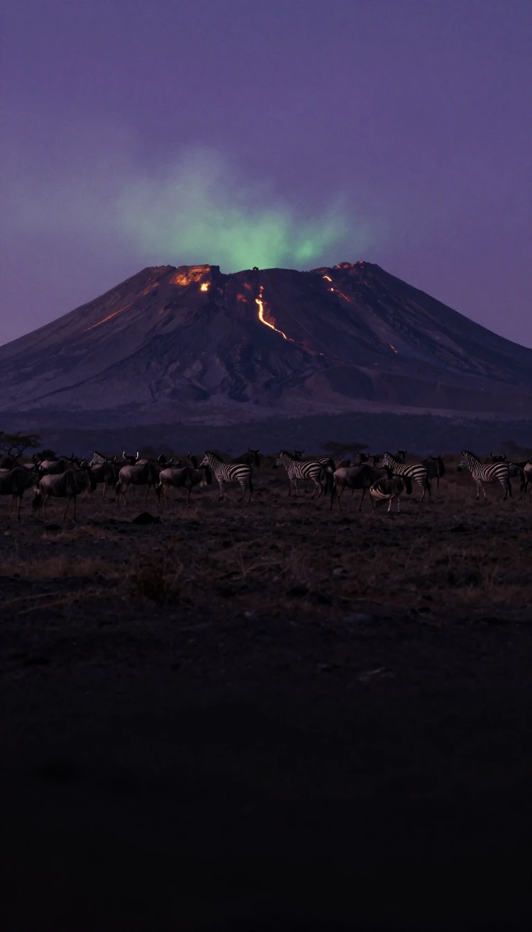
In short: Rising from the Taupo Plateau, Mount Ruapehu stands as New Zealand's largest active volcano. While it draws skiers to its slopes, its history is marked by powerful eruptions and destructive lahars. Understanding this mountain requires looking past its recreational appeal to the volatile geological forces churning beneath its icy summit.
Mount Ruapehu is the highest peak on New Zealand's North Island, reaching an elevation of 9,176 feet. Situated within Tongariro National Park on the Taupo Plateau, the mountain rises significantly above the surrounding landscape. Its name, which translates to 'pit of noise' or 'exploding pit' in Māori, reflects its status as a major active stratovolcano. The mountain is not merely a static peak but a complex system containing three major summits and a deep, active crater that periodically fills with water, known as Crater Lake.
The volcano's geological behavior is defined by its explosive potential and the creation of lahars—destructive volcanic mudflows. These flows occur when eruptions build tephra dams across the lake's outlet, which eventually fail and release massive volumes of water. A tragic example occurred in 1953, when a lahar triggered by a dam failure caused the Tangiwai railway disaster, resulting in 151 deaths. Historic records indicate that major lahars also occurred in 1862 and 1895, while eruptions in 1945–46 and 1996 further demonstrated the mountain's ongoing instability.
Beyond its volcanic activity, Ruapehu hosts the North Island's only glaciers. These 18 glaciers are highly sensitive to climate shifts, with most having retreated since monitoring began in 1955. The mountain's environment is equally unforgiving; it experiences a polar tundra climate on its upper reaches, where gale-force winds and rapid weather changes are common. These conditions have frequently trapped visitors, necessitating evacuations and survival training. Whether through the sudden release of lahars or the onset of severe storms, Ruapehu remains a landscape where geological and atmospheric forces demand constant respect from those who traverse its slopes.
Opens the Intellect+ feed with this card first. Swipe up for the next one.
Sources
- Summary by Intellect · source: Mount Ruapehu | New Zealand, Map, Eruption, & Height | Britannica
- Also: Mount Ruapehu
To cite this card, link to https://intellectplus.co.uk/app/nature-mount-ruapehu.
How we source, check and correct cards: Editorial standards.
General information, not professional advice. Spotted an error? Flag the card or see corrections and complaints.
Intellect Plus is a visual educational discovery platform for exploring fascinating facts and ideas. Brain Food, Not Brain Rot. What is Intellect Plus?
Related
More in Physical geography · More in Nature · Latest · A–Z · All topics
