How geologists use ancient sea level shifts to map the history of the Earth
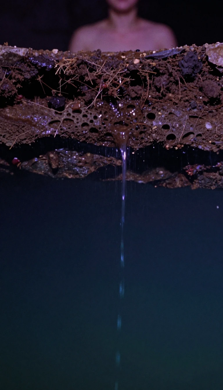
In short: Sequence stratigraphy transforms our understanding of the Earth by linking sedimentary rock layers to time rather than just composition. By mapping unconformities caused by sea level fluctuations, geologists can reconstruct regional histories and identify hidden hydrocarbon reservoirs, turning the planet's layered crust into a precise, chronological record of environmental change.
Sequence stratigraphy moves beyond traditional lithostratigraphy, which classifies rocks solely by their physical composition. Instead, it organizes sedimentary deposits into units bounded by unconformities—erosional gaps that represent significant breaks in the geologic record. By identifying these surfaces, which act as time markers, researchers can build a chronostratigraphic framework that reveals how a region’s surface evolved over millions of years. This method relies on the interplay between eustatic sea level changes, regional subsidence, and the rate of sediment supply, all of which dictate the available accommodation space for new layers to accumulate.
The field originated with L.L. Sloss, who identified six massive craton-wide sequences across North America. In the late 1960s, his students—including Peter Vail and Robert Mitchum—advanced the discipline by applying seismic reflection profiles to identify sequences on a much finer scale, ranging from tens of thousands to a few million years. This revolution in the 1980s allowed scientists to correlate sedimentary patterns globally. Today, these principles are essential in petroleum geology, as the lateral shifts in deposition caused by sea level changes create the precise conditions needed for hydrocarbon traps: porous, permeable sands capped by low-permeability mudstones.
These sedimentary cycles are driven by both local factors and global phenomena, including Milankovitch cycles. These astronomical variations, such as the Earth's precession and orbital oscillation, create predictable cycles of sea level change lasting 20,000 to 110,000 years. During the most recent glacial maximum about 20,000 years ago, sea levels were approximately 320 feet lower than today. As the climate warmed, the subsequent rise in sea level shifted shorelines and altered depositional environments. By analyzing these stacking patterns—whether progradational, retrogradational, or aggradational—geologists can interpret the history of sea level rise and fall, optimizing everything from resource exploration to our broader understanding of Earth's climatic past.
Opens the Intellect+ feed with this card first. Swipe up for the next one.
Sources
- Summary by Intellect · source: Sequence stratigraphy
To cite this card, link to https://intellectplus.co.uk/app/nature-sequence-stratigraphy.
How we source, check and correct cards: Editorial standards.
General information, not professional advice. Spotted an error? Flag the card or see corrections and complaints.
Intellect Plus is a visual educational discovery platform for exploring fascinating facts and ideas. Brain Food, Not Brain Rot. What is Intellect Plus?
Related
More in Geology · More in Nature · Latest · A–Z · All topics
