A rare September nor'easter signals an unusual start to the 2026-27 North American winter
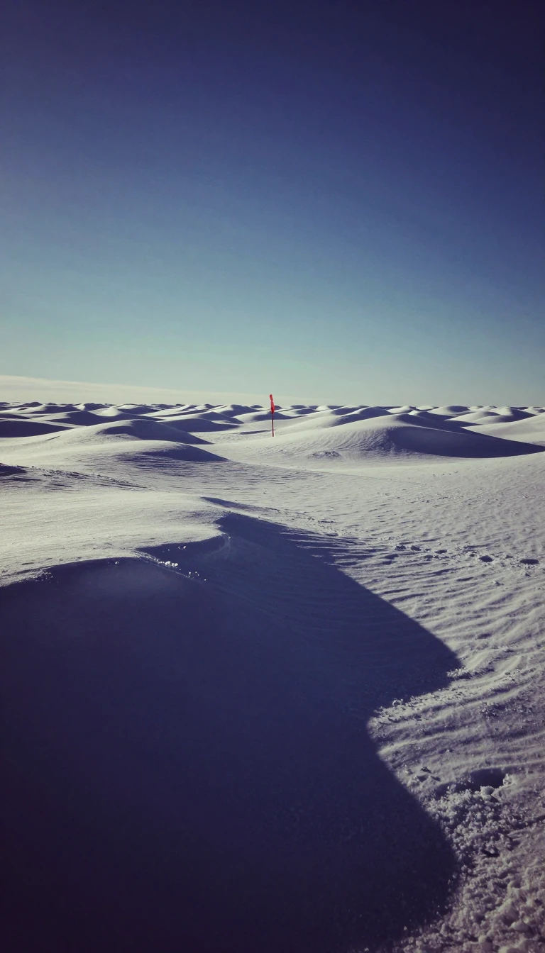
In short: The 2026-27 winter season began with an anomalous, high-intensity storm that struck the U.S. East Coast months ahead of schedule. As a powerful El Niño event shapes the coming months, meteorologists are closely watching how this early activity sets the stage for the rest of the season.
The 2026-27 winter season in North America is defined by two distinct frameworks. Astronomically, the season spans from the winter solstice on December 21, 2026, to the vernal equinox on March 20, 2027. Meteorologically, the season is categorized as the three-month period beginning December 1 and concluding February 28. Regardless of the definition, the season is heavily influenced by a significant El Niño event, which the National Oceanic and Atmospheric Administration's Climate Prediction Center identified as a primary driver for continental weather patterns in its October 15, 2026, outlook.
The season saw an exceptionally early start when a rare, high-intensity nor'easter developed in late September 2026. While these storms are standard features of late autumn and winter, they are remarkably uncommon in September. Data suggests that only about one percent of recorded nor'easters occur during that month. This particular system, which originated from an upper-level low on September 23, drew comparisons to major historical hurricanes due to its scale and potential for coastal flooding. By September 28, the storm had caused over 550 flight cancellations, left more than 200,000 people without power, and resulted in one fatality in Brooklyn.
Looking ahead, the influence of the ongoing super El Niño is expected to create varied conditions across the continent. Forecasters anticipate above-average temperatures for the East Coast and the northern United States, while the Southeast may see near-average conditions. Precipitation patterns are also shifting; an active subtropical jet is projected to bring wetter weather to the southern United States and the East Coast, contrasting with drier conditions expected near the Great Lakes. Meanwhile, other systems have already brought significant weather, such as the remnants of Rachel, which caused heavy rain in Utah and dumped over one foot of snow in parts of Montana in mid-October.
Opens the Intellect+ feed with this card first. Swipe up for the next one.
Sources
- Summary by Intellect · source: 2026–27 North American winter
- Also: Wikidata — 2026–27 North American winter · CC0
To cite this card, link to https://intellectplus.co.uk/app/places-2026-27-north-american-winter.
How we source, check and correct cards: Editorial standards.
General information, not professional advice. Spotted an error? Flag the card or see corrections and complaints.
Intellect Plus is a visual educational discovery platform for exploring fascinating facts and ideas. Brain Food, Not Brain Rot. What is Intellect Plus?
Related
More in Bodies of water · More in Countries & Cities · Latest · A–Z · All topics
