Agaléga: The remote Indian Ocean islands shaped by coconuts, slavery, and secret geopolitics
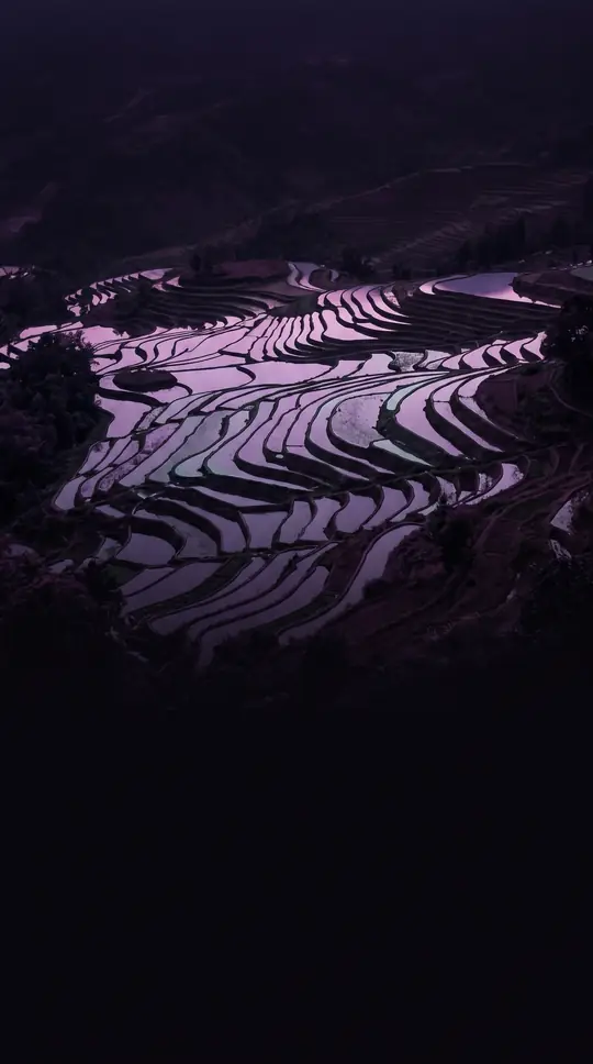
In short: Located 1,050 km north of Mauritius, the two islands of Agaléga are a world apart. Once a hub for coconut oil production built by enslaved people, these remote islets are now the site of significant military infrastructure, sparking intense debate over sovereignty, local culture, and the future of the Agaléens.
Agaléga consists of two islands, North and South, totaling 2,600 hectares. Their history is deeply marked by the 19th-century arrival of administrator Auguste Le Duc in 1827, who organized the production of coconut oil and copra. This era left behind grim monuments, including the village of Vingt-Cinq—named for the 25 lashes given to rebellious slaves—and various slave dungeons and cemeteries. The islands' unique cultural identity includes a mysterious coded language, Madam langaz Seret, which doubles syllables and inserts a 'g' into words, a practice dating back to the period of slavery.
Management of the islands falls under the Outer Island Development Corporation, a state-run entity that maintains a resident manager as the supreme authority. Life remains isolated; there is no running water, and electricity is provided by diesel generators. Education is limited to primary school, with children sent to Mauritius for secondary studies. The population is small, growing from 289 in 2011 to 330 in 2022, and remains predominantly Catholic.
The islands have recently become a focal point for international military cooperation. A 2015 memorandum between India and Mauritius led to the construction of a 10,000-foot airstrip intended for naval surveillance, a project that has significantly altered the landscape. While the United Kingdom and United States considered detaching Agaléga from Mauritius in the 1960s—similar to the Chagos Archipelago—the plan was abandoned due to high costs and poor anchorage. Today, the islands face modern challenges, including the recent devastation caused by Cyclone Chido in December 2024, which destroyed most homes and cut off power.
The origin of the name remains a subject of historical debate. Theories range from the Portuguese explorer Dom Pedro Mascarenhas naming them after his sailboats in 1512, to the more widely accepted view that they are named for the Galician explorer João da Nova, known as João Galego. Maps from the 16th and 17th centuries show a variety of spellings, including 'Gale', 'Galera', and 'Galega', reflecting the islands' long history as a waypoint for maritime explorers.
Opens the Intellect+ feed with this card first. Swipe up for the next one.
Sources
- Summary by Intellect · source: Agaléga
- Also: Wikidata — Agaléga · CC0
To cite this card, link to https://intellectplus.co.uk/app/places-agal-ga.
How we source, check and correct cards: Editorial standards.
General information, not professional advice. Spotted an error? Flag the card or see corrections and complaints.
Intellect Plus is a visual educational discovery platform for exploring fascinating facts and ideas. Brain Food, Not Brain Rot. What is Intellect Plus?
Related
More in Islands · More in Countries & Cities · Latest · A–Z · All topics
