The British Columbia Coast is a vast, deeply indented landscape shaped by ancient migration routes.
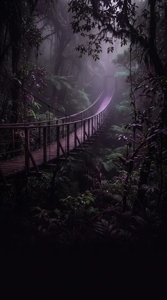
In short: Spanning over 25,000 kilometers of rugged terrain, the British Columbia Coast is more than just a Canadian province's edge. It is a complex, fjord-filled region with a history of human settlement that stretches back to the Ice Age, when its now-submerged coastal plains served as a vital migration corridor.
The British Columbia Coast is a geographic region defined by its proximity to the Pacific Ocean, extending west from the Coast Mountains and North Cascades. While never officially delineated, the region is generally understood to encompass 15 regional districts. Its geography is remarkably complex; while the aerial distance between the southern tip of Vancouver Island and the community of Stewart is approximately 954 kilometers, the actual coastline length exceeds 25,725 kilometers due to its heavy indentation and the presence of over 40,000 islands.
Research from the 1990s revealed that during the Ice Age, the coastline sat about 100 meters lower than today. This created a coastal plain where Queen Charlotte Sound now lies, turning modern straits into mountain valleys. Underwater archaeology confirms that this area hosted permanent human habitations, suggesting it was a primary migration route between Asia and North America. This environment, characterized by mild climates and abundant natural resources, has drawn historical comparisons to the Aegean and the Scandinavian coasts for its ability to foster dynamic, complex civilizations.
Today, the region is a critical hub for global trade and maritime activity. The Port of Vancouver stands as the largest commercial shipping port in Canada and on the Pacific coast of North America by metric tons, handling 76.5 million metric tons of cargo. Further north, the Port of Prince Rupert offers the deepest ice-free natural harbor in North America. Because the challenging topography prevents a continuous north-south highway, the region relies heavily on the Inside Passage—a sheltered maritime route—and extensive ferry networks to connect its isolated communities and islands.
Opens the Intellect+ feed with this card first. Swipe up for the next one.
Sources
- Summary by Intellect · source: British Columbia Coast
- Also: Wikidata — British Columbia Coast · CC0
- Also: Wikidata — British Columbia Coastal Conifer Forests Ecoregion · CC0
To cite this card, link to https://intellectplus.co.uk/app/places-british-columbia-coast.
How we source, check and correct cards: Editorial standards.
General information, not professional advice. Spotted an error? Flag the card or see corrections and complaints.
Intellect Plus is a visual educational discovery platform for exploring fascinating facts and ideas. Brain Food, Not Brain Rot. What is Intellect Plus?
Related
More in Bodies of water · More in Countries & Cities · Latest · A–Z · All topics
