Why this flat, treeless corner of Scotland holds Europe’s largest blanket bog
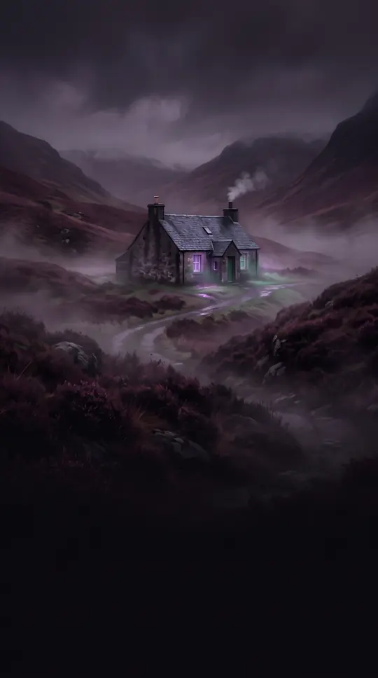
In short: Caithness is a land of contradictions: a flat, largely treeless landscape that hides the vast Flow Country, Europe’s largest blanket bog. Once a Pictish kingdom and later a Norse stronghold, this historic Scottish county remains a rugged, wind-swept territory defined by its ancient geology and complex administrative history.
The name Caithness derives from the Pictish tribe known as the Cat or Catti people, whose Kingdom of Cat once spanned this region and parts of Sutherland. By the 9th century, Norse settlers arrived, establishing a presence that left a lasting mark on the local culture, surnames, and place names. The Norse referred to the area as Katanes, meaning 'headland of the Catt people,' which eventually evolved into the modern name. The region’s strategic position across the Pentland Firth led to centuries of shifting allegiances between the Norwegian and Scottish crowns.
Geologically, Caithness is dominated by Old Red Sandstone, which formed about 370 million years ago from the sediments of Lake Orcadie. This stone, which splits easily into flat slabs, has been used for construction since Neolithic times. The landscape is notably flat compared to the rest of northern Scotland, with the exception of the southwest, where the county’s highest peak, Morven, rises to 706 metres. The interior is defined by the Flow Country, a massive, rolling expanse of peatland and wetland that serves as a vital habitat for rare birds and wildlife.
Administratively, Caithness has undergone significant transformation. It was formally established as a shire in 1641, with Wick serving as the head burgh. Following the Jacobite rising of 1745, the hereditary power of its sheriffs was abolished, and the position was merged with that of Sutherland in 1748. While the county ceased to function as a local government unit in 1975 when it was absorbed into the Highland region, it persists today as a registration county and a lieutenancy area, with its historic boundaries still marked by road signs.
Today, the region is a sanctuary for biodiversity, with large areas protected as Special Protection Areas and Special Areas of Conservation. From the prehistoric brochs and cairns scattered across the moorland to the marine life of the Pentland Firth, Caithness remains a landscape where deep history and natural heritage are inextricably linked.
Opens the Intellect+ feed with this card first. Swipe up for the next one.
Sources
- Summary by Intellect · source: Caithness
- Also: Wikidata — Caithness · CC0
- Also: Wikidata — Caithness · CC0
To cite this card, link to https://intellectplus.co.uk/app/places-caithness.
How we source, check and correct cards: Editorial standards.
General information, not professional advice. Spotted an error? Flag the card or see corrections and complaints.
Intellect Plus is a visual educational discovery platform for exploring fascinating facts and ideas. Brain Food, Not Brain Rot. What is Intellect Plus?
Related
More in Countries and other regions · More in Countries & Cities · Latest · A–Z · All topics
