Cape Wrath: The remote Scottish wilderness where military live-fire exercises meet ancient Norse navigation
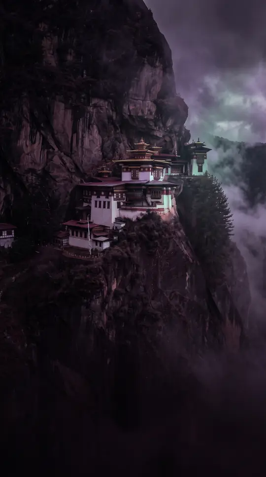
In short: As the most north-westerly point of mainland Great Britain, Cape Wrath is a rugged landscape of peat bogs, towering sea cliffs, and rare wildlife. Once home to small crofting communities, this isolated peninsula now serves as a unique, multi-service military training ground and a destination for intrepid hikers and tourists.
The name Cape Wrath originates from the Old Norse word hvarf, meaning turning point, reflecting its historical use by Norse sailors as a critical navigational landmark. Today, the area remains a stark, largely unpopulated wilderness spanning 107 square miles. Its dramatic geography features sea cliffs that rise 281 meters above the Atlantic, including the highest cliffs on the British mainland at Clò Mòr. These heights provide vital nesting grounds for over 50,000 seabirds, such as puffins, razorbills, and fulmars, though populations have faced significant declines in the early 21st century.
Since the early 20th century, the Ministry of Defence has utilized the peninsula for military training. The site is currently the only location in the Northern Hemisphere where NATO forces integrate land, air, and sea capabilities in assault-mode maneuvers, occasionally deploying 1,000-pound bombs. This activity is concentrated on areas like Garvie Island. While the military presence is intense, the cape also hosts a lighthouse built in 1828 by Robert Stevenson and remains a popular, albeit difficult, destination for hikers traveling the Cape Wrath Trail or the Scottish National Trail.
The tension between preservation and military use has surfaced repeatedly. In 2012, local opposition successfully blocked a Ministry of Defence plan to purchase land surrounding the lighthouse, citing concerns over public access and the protection of historic structures. Despite the harsh environment—which has seen wind gusts of 140 mph and record-low sunshine—the cape supports a small tourism economy. Visitors can reach the lighthouse via a seasonal ferry and minibus service, though access is frequently restricted by live-fire exercises, reminding travelers that this serene wilderness is also a high-stakes training range.
Opens the Intellect+ feed with this card first. Swipe up for the next one.
Sources
- Summary by Intellect · source: Cape Wrath
- Also: Wikidata — Cape Wrath · CC0
- Also: Wikidata — Cape Wrath · CC0
To cite this card, link to https://intellectplus.co.uk/app/places-cape-wrath.
How we source, check and correct cards: Editorial standards.
General information, not professional advice. Spotted an error? Flag the card or see corrections and complaints.
Intellect Plus is a visual educational discovery platform for exploring fascinating facts and ideas. Brain Food, Not Brain Rot. What is Intellect Plus?
Related
More in Bodies of water · More in Countries & Cities · Latest · A–Z · All topics
