In the heart of the Sahara, ancient farmers fought a losing battle against sand
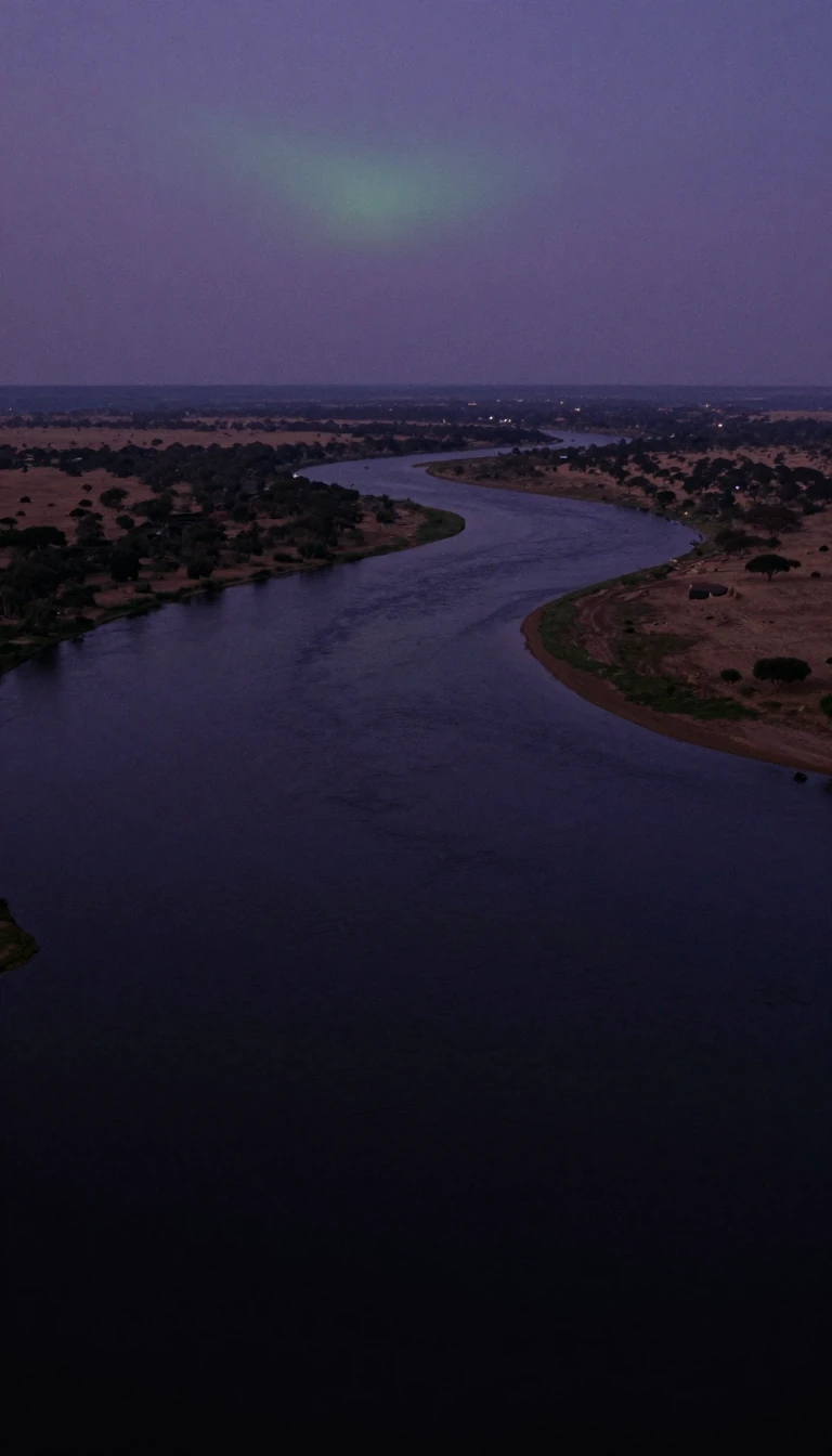
In short: Deep in the hyperarid mountains of north-eastern Chad lie the Lakes of Ounianga. These eighteen desert oases once supported early human settlers who attempted an extraordinary feat: building massive, V-shaped barriers to protect their crops from encroaching sand dunes. Their struggle remains visible today, etched into the landscape by history.
The Lakes of Ounianga, designated a UNESCO World Heritage site in 2012, consist of 18 distinct bodies of water nestled within the West Tibesti and Ennedi East mountains. These lakes exist in an environment so arid that annual rainfall is less than 2 millimetres. Their survival is sustained by an underground aquifer, a remnant of water accumulated during wetter millennia. The lakes are divided into two primary groups: the Ounianga Kébir, or 'great Ounianga,' and the Ounianga Sérir, or 'little Ounianga,' with the isolated Lake Motro situated between them.
The hydrological mechanics of the Ounianga Sérir group are considered unique among Earth's deserts. Wind-blown sand has partitioned this basin into ten separate lakes. In most of these, thick mats of reeds cover the surface, significantly slowing evaporation and keeping the water fresh. However, these reeds are absent from the central Lake Teli. Because evaporation is not inhibited there, the water level in Lake Teli remains lower than its neighbors, creating a constant flow of fresh water through permeable dune barriers from the surrounding lakes into the central basin.
The region holds profound clues regarding human history at the end of the last ice age, approximately 11,000 years ago. During the African humid period, the area was fertile enough to support agriculture and cattle domestication. Aerial photography reveals the remnants of massive, V-shaped barriers, some reaching 700 metres in length, which early settlers constructed to shield their orchards from wind-blown sand. Despite this extraordinary collective effort, the barriers ultimately failed as the climate shifted. Monsoons diminished around 5,000 years ago, and the encroaching desert forced the inhabitants to abandon the region between 7,500 and 5,000 years ago.
Scientific analysis of the region provides a precise record of this environmental transition. A drilling core taken from the bottom of Lake Yoa, the largest of the group at 3.5 square kilometres, revealed 10,940 distinct sediment layers within 16 metres of material. Each layer corresponds to a single year, offering a chronological window into the desertification that eventually buried the ancient settlements.
Opens the Intellect+ feed with this card first. Swipe up for the next one.
Sources
- Summary by Intellect · source: Lakes of Ounianga
- Also: Wikidata — Lakes of Ounianga · CC0
To cite this card, link to https://intellectplus.co.uk/app/places-lakes-of-ounianga.
How we source, check and correct cards: Editorial standards.
General information, not professional advice. Spotted an error? Flag the card or see corrections and complaints.
Intellect Plus is a visual educational discovery platform for exploring fascinating facts and ideas. Brain Food, Not Brain Rot. What is Intellect Plus?
Related
More in World Heritage Sites · More in Countries & Cities · Latest · A–Z · All topics
