The Chao Phraya is a masterfully engineered artery that defines Thailand's historical heartland.
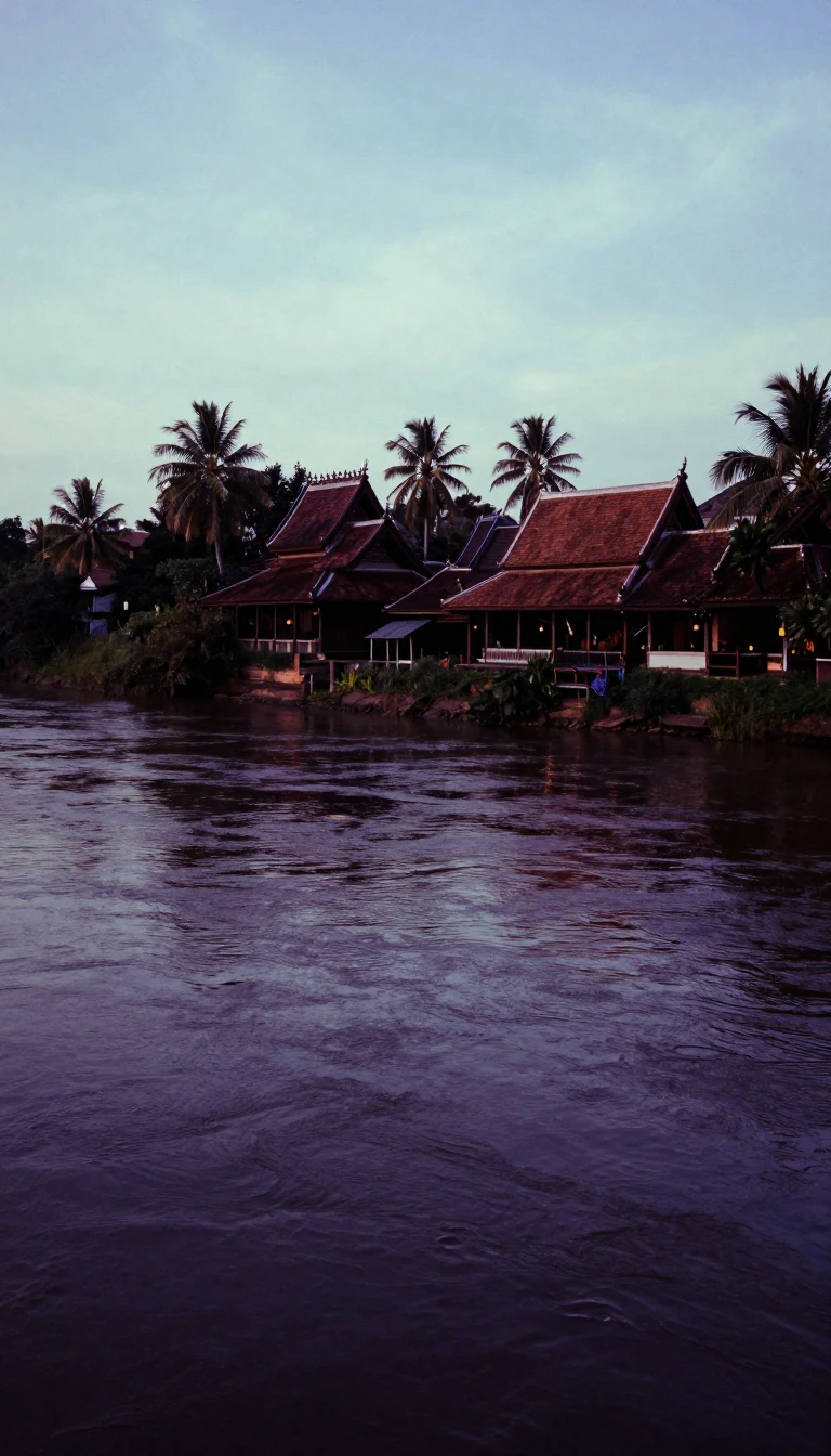
In short: Flowing through the nation's fertile central plains, the Chao Phraya is more than a river; it is a human-modified landscape. For centuries, Thai engineers have reshaped its path with canals to shorten trade routes and manage floods, creating the lifeblood of the country's agriculture, transport, and capital cities.
The Chao Phraya originates in northern Thailand at the meeting point of the Ping and Nan rivers in Nakhon Sawan. From this confluence, the river travels over 225 miles south, winding through a low-lying basin that drains more than 61,000 square miles. Its journey to the Gulf of Thailand is remarkably flat, dropping less than 80 feet in elevation from its start to the sea. This gentle gradient and the annual monsoon flooding have deposited rich alluvium, sustaining the rice fields that have supported Thai civilization for generations.
The river's current course is as much a product of human intervention as natural erosion. Since the Ayutthaya period, rulers have commissioned major engineering projects to bypass the river's natural meanders. In 1538, King Chairachathirat ordered the construction of a three-kilometer canal, Khlong Lat, which reduced the journey to the capital by over 13 kilometers. Subsequent centuries saw further modifications, such as the 1722 creation of the Ko Kret island through the digging of the Khlong Lat Kret Noi canal. These modifications were designed to expedite trade and improve navigation for ships moving between the Gulf and inland cities.
Today, the river remains a vital transportation corridor, particularly within the dense urban fabric of Bangkok. A complex network of river buses, ferries, and water taxis operates alongside harbor installations that line the final 25 miles of the stream. While the river is essential for commerce, it faces physical limitations; its deepwater channel requires constant dredging and cannot accommodate vessels exceeding 10,000 tons. Modern efforts continue to balance the river's utility with safety, such as the 2024 construction of the Chao Phraya II channel, intended to provide critical flood relief for the historic city of Ayutthaya.
Opens the Intellect+ feed with this card first. Swipe up for the next one.
Sources
- Summary by Intellect · source: Chao Phraya River | Thailand, Map, & Facts | Britannica
- Also: Chao Phraya River
To cite this card, link to https://intellectplus.co.uk/app/places-chao-phraya-river.
How we source, check and correct cards: Editorial standards.
General information, not professional advice. Spotted an error? Flag the card or see corrections and complaints.
Intellect Plus is a visual educational discovery platform for exploring fascinating facts and ideas. Brain Food, Not Brain Rot. What is Intellect Plus?
Related
More in Bodies of water · More in Countries & Cities · Latest · A–Z · All topics
