The Churchill River is a massive waterway that feeds two different oceans simultaneously
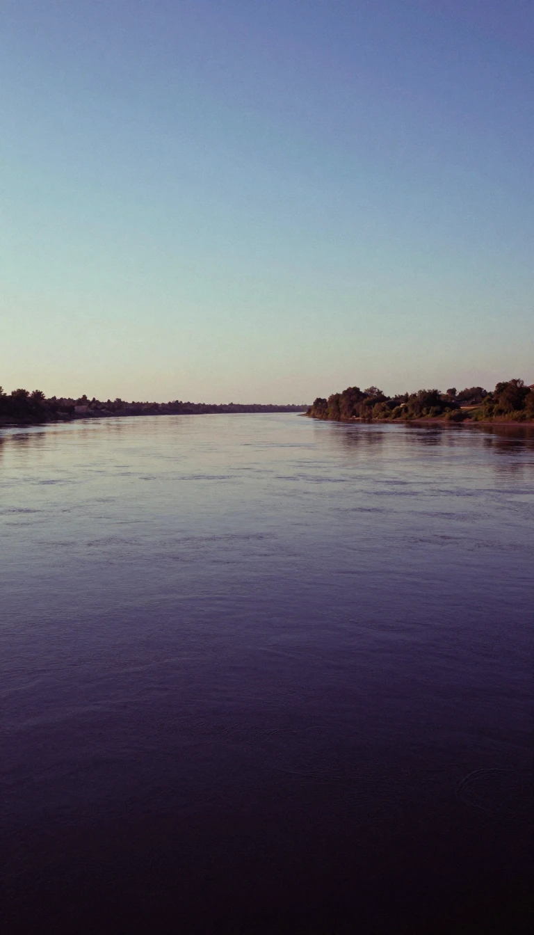
In short: Spanning over 1,600 kilometres across the Canadian Shield, the Churchill River is far more than a simple path to the sea. It serves as a vital hydrological crossroads, where human engineering and natural geography combine to divert the majority of its waters away from their original path toward Hudson Bay.
Originating from Churchill Lake, the river flows through Saskatchewan and Manitoba, carrying names like Missinipi, or 'big waters,' in Cree, and des nëdhë́, or 'Great River,' in Denesuline. Its geography is defined by the Canadian Shield, creating a complex network of lakes and tributaries. Historically, this river was the backbone of the 'voyageur highway,' a critical transit route that connected the Hudson Bay watershed to the Arctic Ocean via the Methye Portage, a path revealed to explorer Peter Pond by the Dene people.
The river's modern character is defined by its relationship with power generation. While the river naturally empties into Hudson Bay at Churchill, Manitoba, a significant diversion project redirects 60% of its flow into the Nelson River for hydroelectric purposes. This manipulation of the landscape is managed by infrastructure like the Whitesand Dam, which regulates the flow from Reindeer Lake to ensure consistent output for downstream facilities like the Island Falls generating station.
The potential for further development has long been a subject of planning. In the 1970s, SaskPower explored the Wintego project, a proposed 300-megawatt station that would have cost an estimated $338 million at the time. While that specific project did not proceed, the river remains a site of significant energy potential, with other sites like Iskwatam, Pita, Bonald, and Granville Falls identified as possible locations for future hydroelectric capacity. Today, the river remains a diverse ecosystem, supporting a wide array of fish species including lake sturgeon, northern pike, and walleye, even as it continues to be a central artery for Canadian energy production.
Opens the Intellect+ feed with this card first. Swipe up for the next one.
Sources
- Summary by Intellect · source: Churchill River (Hudson Bay)
To cite this card, link to https://intellectplus.co.uk/app/places-churchill-river-hudson-bay.
How we source, check and correct cards: Editorial standards.
General information, not professional advice. Spotted an error? Flag the card or see corrections and complaints.
Intellect Plus is a visual educational discovery platform for exploring fascinating facts and ideas. Brain Food, Not Brain Rot. What is Intellect Plus?
Related
More in Bodies of water · More in Countries & Cities · Latest · A–Z · All topics
